
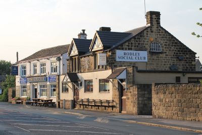
Rodley Social Club, club in Leeds, West Yorkshire
Location: Leeds
Address: Rodley Social Club, 102 Town Street, Rodley, Leeds, LS13 1HP LS13 1HP
GPS coordinates: 53.82242,-1.65794
Latest update: March 5, 2025 01:57
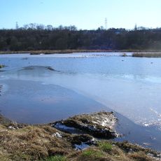
Rodley Nature Reserve
779 m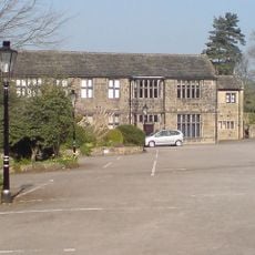
Low Hall Restaurant And Farmhouse
1.2 km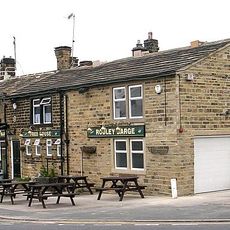
Rodley Barge Public House
311 m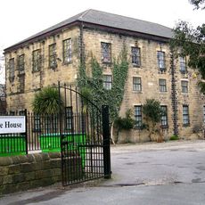
Former Bagley Baptist Chapel
727 m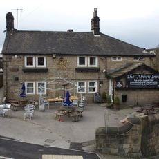
Abbey Inn
1.4 km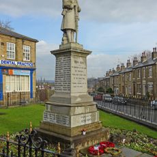
Farsley War Memorial
1.1 km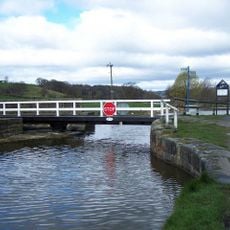
Leeds And Liverpool Canal, Owl Bridge
859 m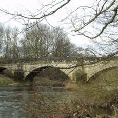
Bridge Over River Aire
842 m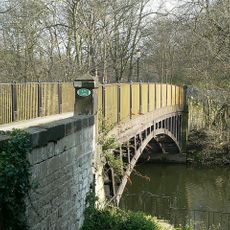
Newlay Bridge
1.4 km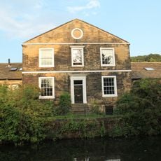
Whitecote House
1.3 km
2, 4 And 6, Wesley Street
67 m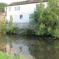
166 And 168, Town Street
263 m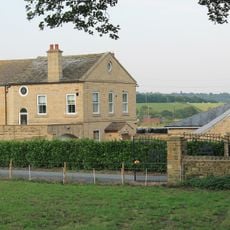
Barn Approximately 5 Metres South East Of Rodley Fold Farmhouse
320 m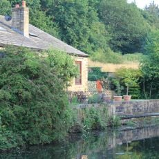
Revetment Wall To Whitecote House With Railings And Gate To Canal
1.3 km
Low Fold
1.4 km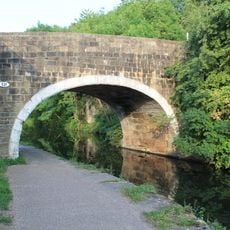
Leeds and Liverpool Canal Bridge 221
1.4 km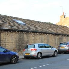
164, Town Street
244 m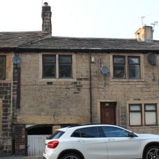
144, Town Street
203 m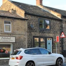
140, Town Street
192 m
Rodley Primary School And Attached Walls
84 m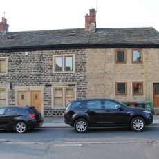
134, 136 And 138, Town Street
184 m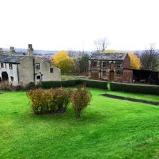
34 And 36, Rock Lane
1.3 km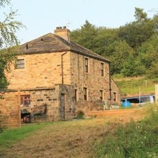
Stables Approximately 10 Metres South East Of Whitecote House
1.3 km
Toll House To Iron Bridge
1.4 km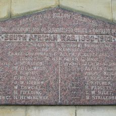
Farsley Boer War Memorial Tablet
1.1 km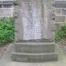
Farsley United Methodist Church WWI Memorial
1.4 km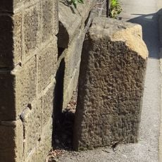
Gritstone pillar with three cup marks in the north pavement of the A65 at Horsforth, 440m south east of the roundabout at Low Fold
1.4 km
Milestone, New Road Side, Horsforth
1.4 kmVisited this place? Tap the stars to rate it and share your experience / photos with the community! Try now! You can cancel it anytime.
Discover hidden gems everywhere you go!
From secret cafés to breathtaking viewpoints, skip the crowded tourist spots and find places that match your style. Our app makes it easy with voice search, smart filtering, route optimization, and insider tips from travelers worldwide. Download now for the complete mobile experience.

A unique approach to discovering new places❞
— Le Figaro
All the places worth exploring❞
— France Info
A tailor-made excursion in just a few clicks❞
— 20 Minutes