
St Thomas-on-the-Bourne, church in Farnham, Surrey, UK
Location: Farnham
Inception: 1911
GPS coordinates: 51.20306,-0.79194
Latest update: March 6, 2025 05:17

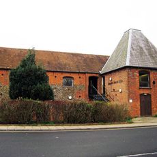
Farnham Maltings
1.1 km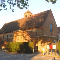
St Joan of Arc's Church, Farnham
916 m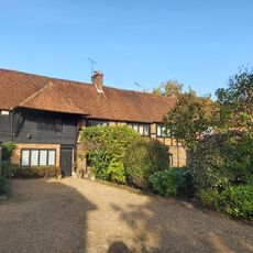
Nos. 1, 2, 3 & 4 Waverley Close, Nos. 5, 6,7 & 8 Broomleaf House, Alexandra Barn And Alexandra House
1 km
The Blue Boy Railway Hotel
1 km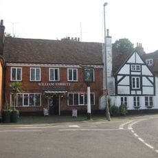
William Cobbett Public House
1 km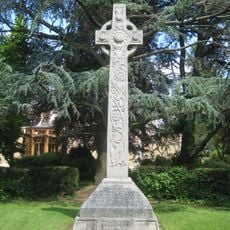
St Thomas-on-the-Bourne War Memorial
69 m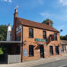
The Fox Public House
521 m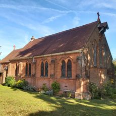
St Martin by the Green
862 m
Brambleton Hall
781 m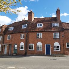
Number 6 (Flats 1 And 2), Numbers 7, 9 And 10 And North Part Of Number 11
1 km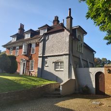
Strangers Corner
646 m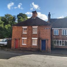
57 59, Abbey Street
1 km
Mavins End Mavins House And Attached Garage
271 m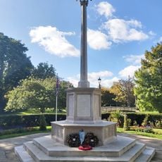
Farnham War Memorial
1.1 km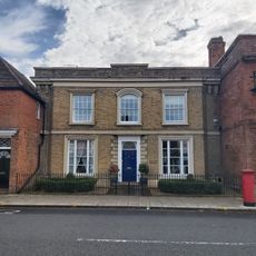
2, Downing Street
1.2 km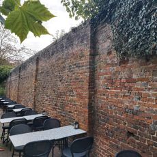
Garden Wall To East Of Number Four
1.2 km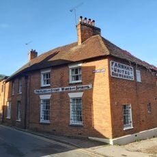
2 4, Red Lion Lane
1 km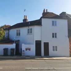
Bridge House
1.1 km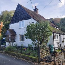
7-11, Red Lion Lane
996 m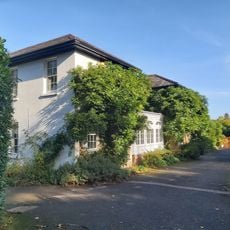
The Manor House
1.1 km
Firgrove Farmhouse And Outbuildings To South
742 m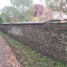
Boundary Wall To Heroncourt Along Ford Lane And Southern Part Of Aveley Lane
983 m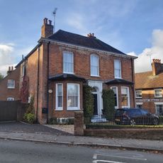
Old Roof
1 km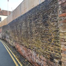
Garden Wall To Old Roof (Along Red Lion Lane)
1 km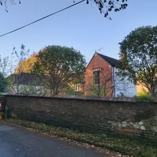
Heroncourt
978 m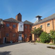
Red Lion Brewery
1.1 km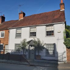
Numbers 14 To 18 (Consecutively) Including Front Railings To Number 18
1 km
12 And 13, Bridge Square
1 kmReviews
Visited this place? Tap the stars to rate it and share your experience / photos with the community! Try now! You can cancel it anytime.
Discover hidden gems everywhere you go!
From secret cafés to breathtaking viewpoints, skip the crowded tourist spots and find places that match your style. Our app makes it easy with voice search, smart filtering, route optimization, and insider tips from travelers worldwide. Download now for the complete mobile experience.

A unique approach to discovering new places❞
— Le Figaro
All the places worth exploring❞
— France Info
A tailor-made excursion in just a few clicks❞
— 20 Minutes