
Broomhaugh and Riding Mill War Memorial, war memorial in Broomhaugh and Riding, Northumberland, UK
Location: Broomhaugh and Riding
GPS coordinates: 54.94598,-1.97281
Latest update: November 16, 2025 09:15
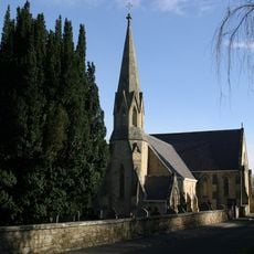
Church of St James
58 m
Methodist Chapel
426 m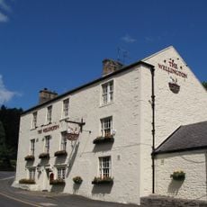
Wellington Inn
203 m
Stable End Yew Tree Cottage
412 m
Mrs Williams' Cottage
78 m
House Adjoining Methodist Chapel
419 m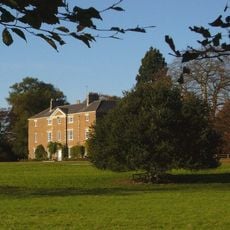
Styford Hall
880 m
Forecourt Walls And Piers To Manor House
610 m
Broomhaugh Farmhouse And Arch At South West Corner
493 m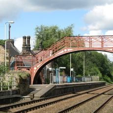
Footbridge at Riding Mill railway station
317 m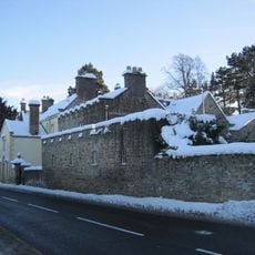
The Manor House And Wall Attached To Rear
603 m
Hollin Hill Terrace
335 m
Oaklands
196 m
Stable Block 30 Metres North-East Of Styford Hall
944 m
Boundary Stone 100 Metres South-East Of High Shilford Farmhouse
864 m
Road Bridge Over Railway
293 m
Boundary Stone On North Side Of Footpath 70 Metres East Of Whiteside Cottage
180 m
The Dower House East And The Dower House West
592 m
Range Of Farm Buildings On North Of Riding Farmhouse (Q.V.)
690 m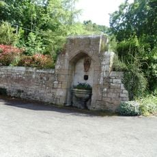
Drinking Fountain 60 Metres South-East Of Church Of St. James
68 m
Riding Farmhouse
684 m
Stationmaster's House At Riding Mill Station
315 m
3 and 4 Riding Cottages
504 m
Boundary Stone On East Of Wood 7 Metres South Of Drive To The Glebe
242 m
Hollin Hill Cottage
452 m
The Riding
548 m
1 and 2 Riding Cottages
492 m
Scenic viewpoint
601 mReviews
Visited this place? Tap the stars to rate it and share your experience / photos with the community! Try now! You can cancel it anytime.
Discover hidden gems everywhere you go!
From secret cafés to breathtaking viewpoints, skip the crowded tourist spots and find places that match your style. Our app makes it easy with voice search, smart filtering, route optimization, and insider tips from travelers worldwide. Download now for the complete mobile experience.

A unique approach to discovering new places❞
— Le Figaro
All the places worth exploring❞
— France Info
A tailor-made excursion in just a few clicks❞
— 20 Minutes