
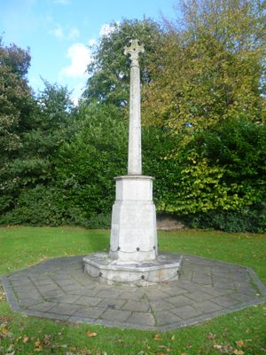
Banstead War Memorial, war memorial in Reigate and Banstead, Surrey, UK
Location: Reigate and Banstead
GPS coordinates: 51.32465,-0.19494
Latest update: March 7, 2025 06:14
Oaks Park
2.2 km
Belmont Pastures
2.3 km
Devonshire Avenue Nature Area
3.3 km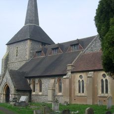
Church of All Saints
502 m
Christ Church
3.4 km
Church of St Andrew
2.7 km
Church of the Good Shepherd
3.7 km
St Paul
2 km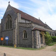
St Mary's
2.5 km
Church of St John, Belmont
2.2 km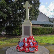
Belmont War Memorial
2.2 km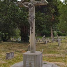
War Memorial, Church of All Saints, Banstead
531 m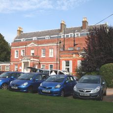
Banstead Place
809 m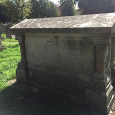
Muggeridge Tomb 20 Yards West Of Church Of All Saints
529 m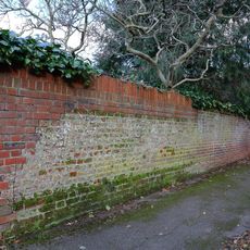
Wall on North Side of Warren Avenue
2.5 km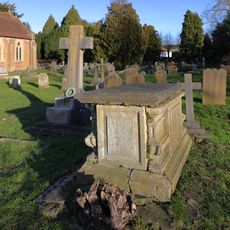
Chest Tomb 40 Yards South Of Church Of All Saints
518 m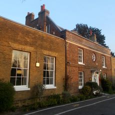
Sutton Lodge
2.8 km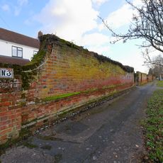
Front Garden Walls to Nos 3 and 5 (Craig House), No 7 (Trewarren), No 9 (High Trees), No 11 (Merrow), No 13 (Lynwood), Nos 15 and 17 (Wood Lodge), Green Gap, Driftwood, Wychwood, South Garden Wall to Wychwood
2.4 km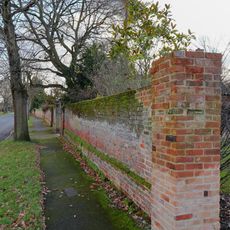
Garden Walls in front of Nos 2 to 16 (even) and rear Garden Wall to No 18, Wilbury Avenue
2.4 km
North-West Garden Wall to Devonshire House
2.5 km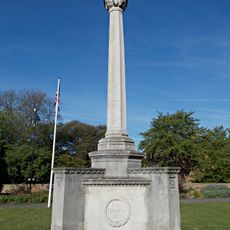
Cheam War Memorial
2.8 km
Clapham Lodge
2.3 km
Pillar Box Outside Number 56
3.7 km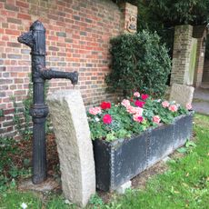
Horse Trough With Pump At Entrance To No 19 (Little Garratts)
978 m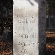
Milestone in Brighton Road
3 km
Milestone, Brighton Road, Tadworth, opp. No. 138 and Aberdown School
2.1 km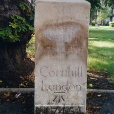
Milestone, Brighton Road, Larch Vale Court
3 km
Milestone, Brighton Road, nr Tadworth Court
3.7 kmVisited this place? Tap the stars to rate it and share your experience / photos with the community! Try now! You can cancel it anytime.
Discover hidden gems everywhere you go!
From secret cafés to breathtaking viewpoints, skip the crowded tourist spots and find places that match your style. Our app makes it easy with voice search, smart filtering, route optimization, and insider tips from travelers worldwide. Download now for the complete mobile experience.

A unique approach to discovering new places❞
— Le Figaro
All the places worth exploring❞
— France Info
A tailor-made excursion in just a few clicks❞
— 20 Minutes