
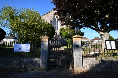
St. Luke’s Church, building in Exeter, Devon
Location: Exeter
Inception: 1837
Address: Countess Wear Road, Exeter
Website: https://topshamwearcofe.org.uk/st-lukes
GPS coordinates: 50.70289,-3.50166
Latest update: March 10, 2025 01:58
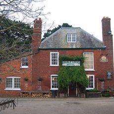
Double Locks Inn
848 m
Tally Ho Inn
65 m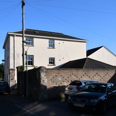
Waring Bowen House
142 m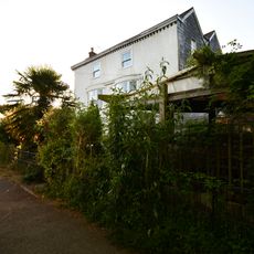
Mill House
207 m
303 Topsham Road
276 m
Clifton Cottage Hillside Lime Kiln Cottage
201 m
The Barton
104 m
St Loyes College Lodge
683 m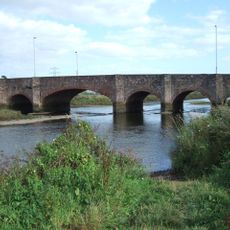
Countess Wear Bridge
772 m
Prospect Place
967 m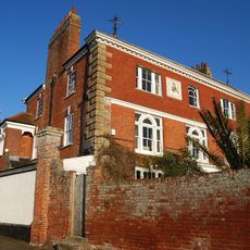
Countess Wear House
571 m
Gullpit Cottages
905 m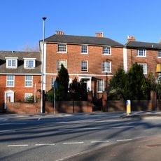
203 And 205, Topsham Road
781 m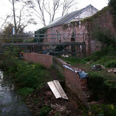
Countess Weir Paper Mill
187 m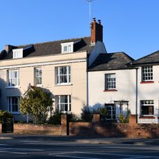
197, Topsham Road
836 m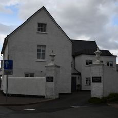
Mount Wear House
498 m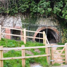
Two Lime Kilns
241 m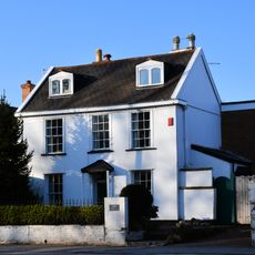
199, Topsham Road
828 m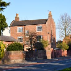
Red House
895 m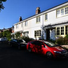
20-24 (even), Mill Road
151 m
Garden Wall Of No 59
600 m
1 & 2, Mill Lane
223 m
Fairfield House
566 m
30 And 32, Countess Wear Road
269 m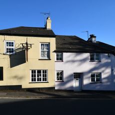
2 Mill Road
69 m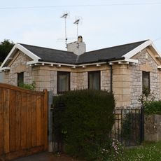
Crossways Lodge
718 m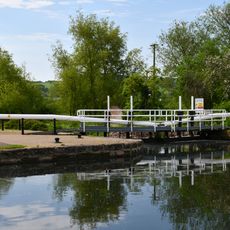
Double Locks
872 m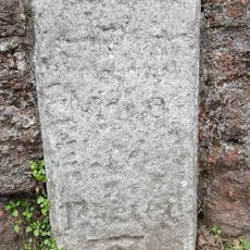
Milestone, Topsham Road, 30m W of Burnthouse Lane, opp. Earl Richard's Road South
808 mVisited this place? Tap the stars to rate it and share your experience / photos with the community! Try now! You can cancel it anytime.
Discover hidden gems everywhere you go!
From secret cafés to breathtaking viewpoints, skip the crowded tourist spots and find places that match your style. Our app makes it easy with voice search, smart filtering, route optimization, and insider tips from travelers worldwide. Download now for the complete mobile experience.

A unique approach to discovering new places❞
— Le Figaro
All the places worth exploring❞
— France Info
A tailor-made excursion in just a few clicks❞
— 20 Minutes