
The Priest House and adjoining range, Farleigh Hungerford Castle
The Priest House and adjoining range, Farleigh Hungerford Castle, house in Farleigh Hungerford, Somerset, UK
Location: Norton St Philip
Part of: Farleigh Hungerford Castle
GPS coordinates: 51.31742,-2.28631
Latest update: March 10, 2025 05:30

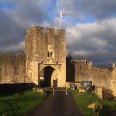
Farleigh Hungerford Castle
41 m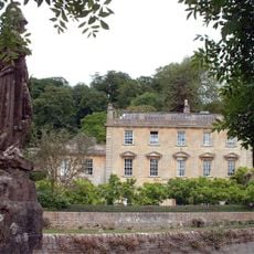
Iford Manor
1.3 km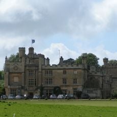
Farleigh House
711 m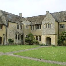
Westwood Manor
1.7 km
Tellisford Mill
2 km
Church of St Leonard
251 m
Church of St Mary the Virgin
1.8 km
Church of All Saints
2 km
Chapel of St Leonard, perimeter wall and gateway, Farleigh Hungerford Castle
24 m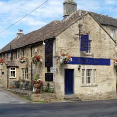
The New Inn
1.9 km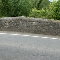
Mill Stream Bridge On A366, About 40 Metres South Of River Frome Bridge
171 m
Tellisford Bridge
2 km
Bridge Over River Frome On A366, About 40 Metres North Of Mill Stream Bridge
183 m
Stowford Mill
917 m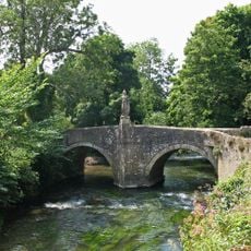
Iford Bridge
1.3 km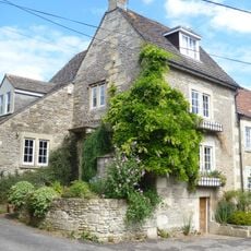
86, Lower Westwood
1.9 km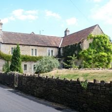
47, Lower Westwood
1.9 km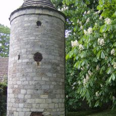
Water Tower And Hydrant, About 60 Metres South Of Church Of St Leonard
291 m
79, Lower Westwood
1.9 km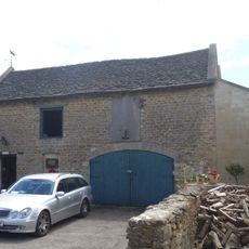
Stable And Coach House To West Of Stowford Manor
916 m
Wick Farmhouse
1.5 km
Stable At Westwood Manor
1.8 km
48, Lower Westwood
1.9 km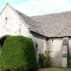
Barn At Westwood Manor
1.8 km
Mill Cottage Stowford Mill House
930 m
The Old Malthouse
1.8 km
82, 83 And 84, Lower Westwood
1.9 km
Milepost, Close to jct of A36 and A366
1.9 kmReviews
Visited this place? Tap the stars to rate it and share your experience / photos with the community! Try now! You can cancel it anytime.
Discover hidden gems everywhere you go!
From secret cafés to breathtaking viewpoints, skip the crowded tourist spots and find places that match your style. Our app makes it easy with voice search, smart filtering, route optimization, and insider tips from travelers worldwide. Download now for the complete mobile experience.

A unique approach to discovering new places❞
— Le Figaro
All the places worth exploring❞
— France Info
A tailor-made excursion in just a few clicks❞
— 20 Minutes