
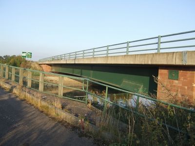
Yoxall Bridge, bridge in Staffordshire, UK
Location: Yoxall
Location: King's Bromley
Inception: 1998
GPS coordinates: 52.75723,-1.80703
Latest update: September 23, 2025 16:56
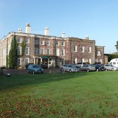
Wychnor Hall
3.3 km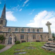
Church of St Michael and All Angels, Hamstall Ridware
3 km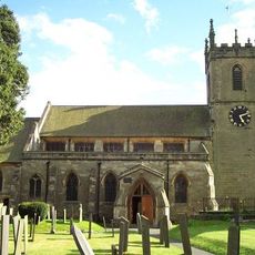
Church of St Peter
1.7 km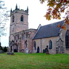
Church of All Saints
1.2 km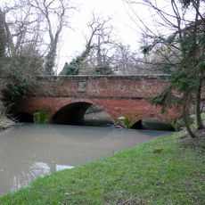
Bridge Over River Swarbourn At West End Of Town Hill
1.5 km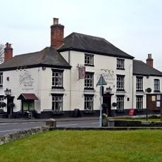
Golden Cup Inn
1.7 km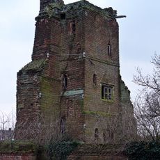
Tower and attached walls at Hamstall Hall
3 km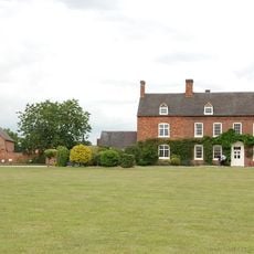
Alrewas Hayes Farmhouse
3.1 km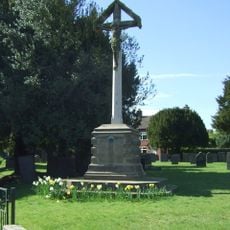
Arden Family War Memorial
1.7 km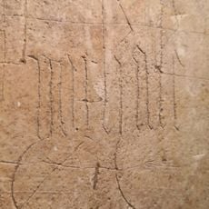
Pear Tree Farmhouse
1.9 km
Milepost
3.4 km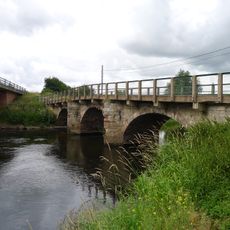
Yoxall Bridge
21 m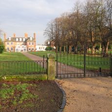
Orgreave Hall And Attached Stables
2.6 km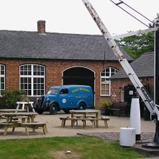
Workshops Approximately 250 Yards East Of The Swan
3.8 km
Pipe Ridware Hall
3.5 km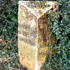
Mile Post At Ngr Sk 14881563
2.8 km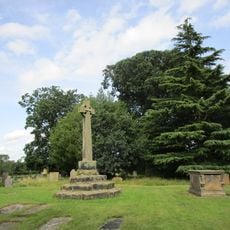
Churchyard Cross Approximately 10 Yards South West Of South Aisle Of Church Of St Michael And All Angels
3 km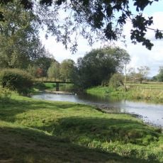
King's Bromley footbridge
1.2 km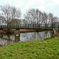
Nethertown River Trent footbridge
2.2 km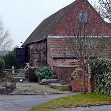
Barn And Attached Wall Approximately 100 Yards West Of Hamstall Hall
3.1 km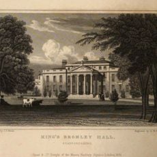
Bromley Hall
1.6 km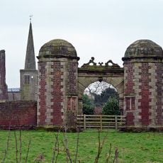
Gatehouse and attached courtyard walls at Hamstall Hall
3.1 km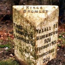
Milepost, by PD Nurseries, between Yoxall Bridge & Kings Bromley
698 m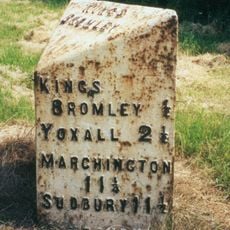
Milepost, 200m S of A513 Handsacre road jct
2.2 km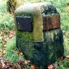
Milestone, Manor Gardens
1.9 km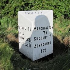
Milepost, near Woodlane Crossroads
3.4 km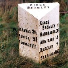
Milepost, between Eastfields & Lupin Farm, E of Kings Bromley
1.3 km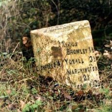
Milepost, S of canal
3.5 kmReviews
Visited this place? Tap the stars to rate it and share your experience / photos with the community! Try now! You can cancel it anytime.
Discover hidden gems everywhere you go!
From secret cafés to breathtaking viewpoints, skip the crowded tourist spots and find places that match your style. Our app makes it easy with voice search, smart filtering, route optimization, and insider tips from travelers worldwide. Download now for the complete mobile experience.

A unique approach to discovering new places❞
— Le Figaro
All the places worth exploring❞
— France Info
A tailor-made excursion in just a few clicks❞
— 20 Minutes