
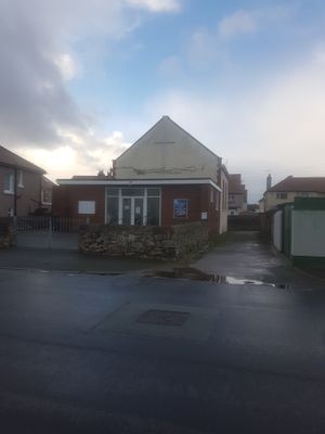
Mission Hall, chapel in Llandudno
Location: Conwy County Borough
GPS coordinates: 53.31609,-3.83685
Latest update: March 7, 2025 07:21
Llandudno Cricket Club Ground
430 m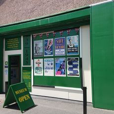
Home Front Museum
947 m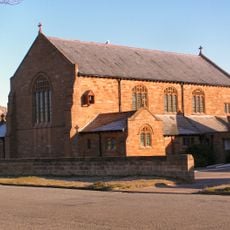
Church of Our Saviour (West Shore)
307 m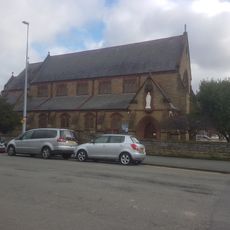
Roman Catholic Church of Our Lady Star of the Sea
804 m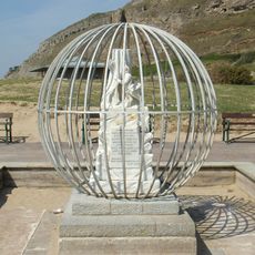
White Rabbit Memorial
645 m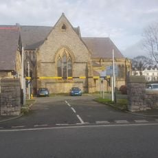
Churchyard Walls, Gates and Piers to Church of The Holy Trinity
938 m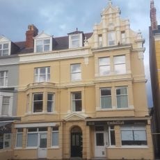
Emrys Williams Gallery
866 m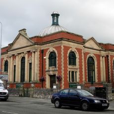
Ebenezer Methodist Chapel
932 m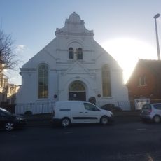
Rehoboth Calvinistic Methodist Chapel
678 m
8,Vaughan Street, Llandudno
947 m
2,Vaughan Street, Llandudno
893 m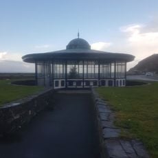
Shelter (Former Tram Terminus)
654 m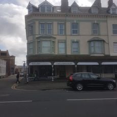
19, Lloyd Street,Llandudno
917 m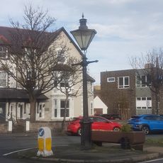
Lamp Standard
868 m
1,Vaughan Street, Llandudno
886 m
27, Lloyd Street, Llandudno
894 m
4,Vaughan Street, Llandudno
908 m
6,Vaughan Street, Llandudno
925 m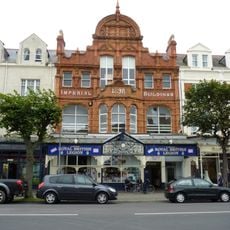
Imperial Buildings
935 m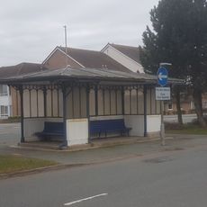
Shelter
679 m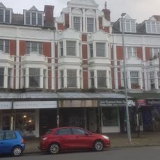
3,Vaughan Street, Llandudno
902 m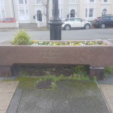
Drinking Trough
865 m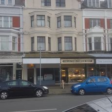
5,Vaughan Street, Llandudno
916 m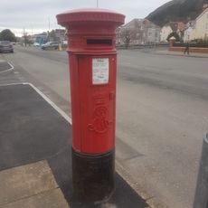
Pillar Box on corner with Clifton Road
866 m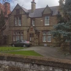
Presbytery to Church of Our Lady Star of the Sea
822 m
Plas Maelgwyn
835 m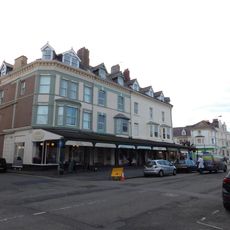
Nos 21 To 27 (Odd Nos) Lloyd Street, Llandudno
910 m
Kingdom Hall of Jehovah's Witnesses
73 mVisited this place? Tap the stars to rate it and share your experience / photos with the community! Try now! You can cancel it anytime.
Discover hidden gems everywhere you go!
From secret cafés to breathtaking viewpoints, skip the crowded tourist spots and find places that match your style. Our app makes it easy with voice search, smart filtering, route optimization, and insider tips from travelers worldwide. Download now for the complete mobile experience.

A unique approach to discovering new places❞
— Le Figaro
All the places worth exploring❞
— France Info
A tailor-made excursion in just a few clicks❞
— 20 Minutes