
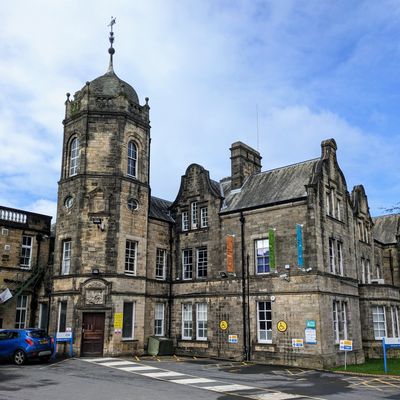
Royal Lancaster Infirmary, hospital building in Lancaster, United Kingdom
Location: Lancaster
Part of: Royal Lancaster Infirmary
GPS coordinates: 54.04409,-2.79947
Latest update: March 7, 2025 04:57
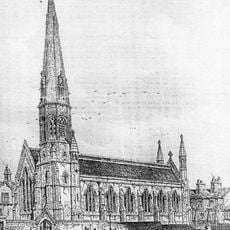
St Thomas' Church, Lancaster
224 m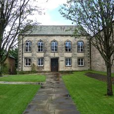
United Reformed Church
360 m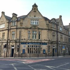
Toll House Inn
98 m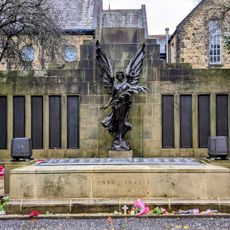
Lancaster War Memorial, Lancashire
369 m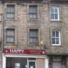
48 and 50, King Street
342 m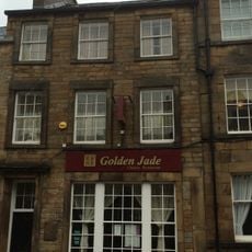
91, King Street
269 m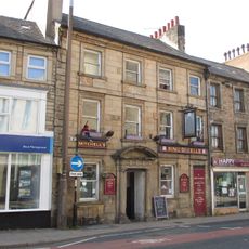
Ring O' Bells Public House
331 m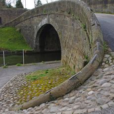
Lancaster Canal Basin Bridge (Number 98)
286 m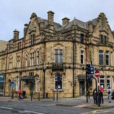
Alexandra Hotel
110 m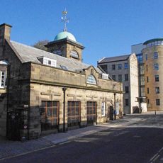
Town Hall Computer Block
331 m
5 and 7, Queen Street
201 m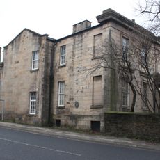
Nurses' Home
97 m
12, Queen Street
244 m
4 and 6, Queen Street
290 m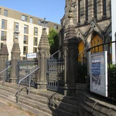
Walls And Railings Around The Church Of St Thomas
241 m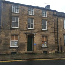
14, Queen Street
240 m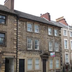
40 and 42, King Street
355 m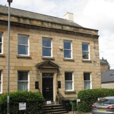
1, Queen Square
313 m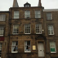
93 King Street
264 m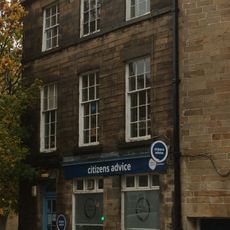
87 King Street
283 m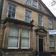
4, Queen Square
262 m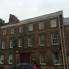
95 and 97, King Street
258 m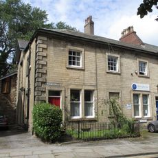
3 and 5, Queen Square
306 m
Lancaster Canal Old Boathouse On East Side Of Canal Approximately 100 Metres West Of Basin Bridge
369 m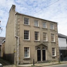
20 and 22, Queen Street
161 m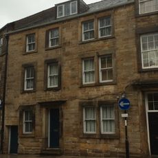
89, King Street
275 m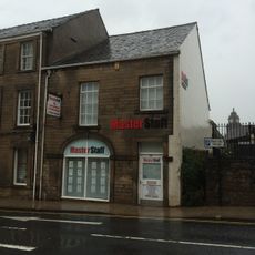
99, King Street
244 m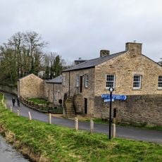
Lancaster Canal Old Blacksmiths Shop Approximately 30 Metres East Of Basin Bridge
264 mReviews
Visited this place? Tap the stars to rate it and share your experience / photos with the community! Try now! You can cancel it anytime.
Discover hidden gems everywhere you go!
From secret cafés to breathtaking viewpoints, skip the crowded tourist spots and find places that match your style. Our app makes it easy with voice search, smart filtering, route optimization, and insider tips from travelers worldwide. Download now for the complete mobile experience.

A unique approach to discovering new places❞
— Le Figaro
All the places worth exploring❞
— France Info
A tailor-made excursion in just a few clicks❞
— 20 Minutes