
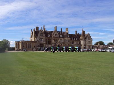
Iwerne Minster House, school building, formerly country house in Iwerne Minster, Dorset, United Kingdom
Location: Iwerne Minster
Part of: Clayesmore School
GPS coordinates: 50.93145,-2.19621
Latest update: March 4, 2025 08:48
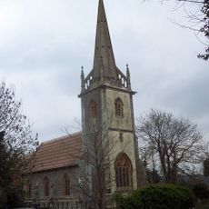
Church of Saint Bartholomew
1 km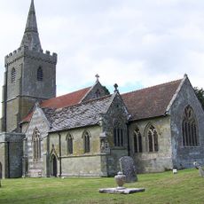
Church of St Mary
569 m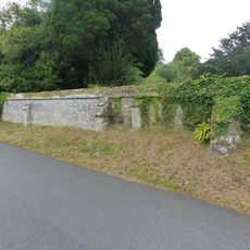
Approximately 25m of churchyard wall to the west and south of St Mary's Church
546 m
Sunnyside and attached shop
558 m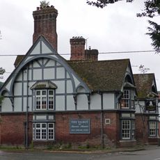
The Talbot at Iwerne Minster
453 m
The Chantry
558 m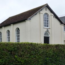
Abingdon Memorial Hall
493 m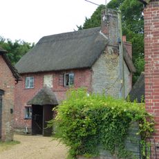
Sunnyside Cottage
545 m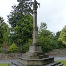
Iwerne Minster and Sutton Waldron War Memorial
288 m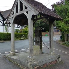
Village pump and pumphouse
400 m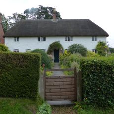
Spring Cottage
623 m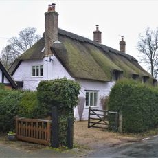
The Old Cottage
317 m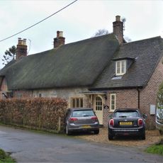
Pair of cottages approximately 5 m east of Sunnyside
574 m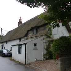
Dwell Deep and Dip Well
664 m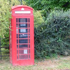
K6 Telephone Kiosk
539 m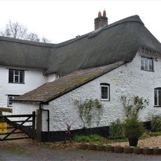
Brookman's Farmhouse
748 m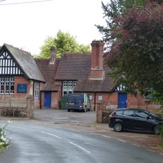
Primary School
441 m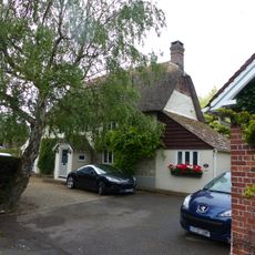
Brook Cottage
590 m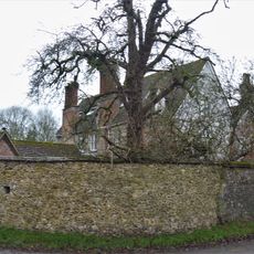
Devine House
686 m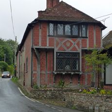
Heddle House
511 m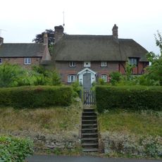
Noel Cottage
549 m
Home Farm Barn.
400 m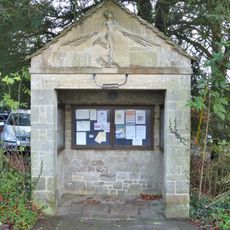
The War Office
407 m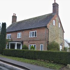
Bowhay
684 m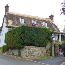
Tillhays
523 m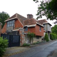
Oak House
583 m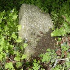
Milestone, 50m N of turning to Child Okeford
702 m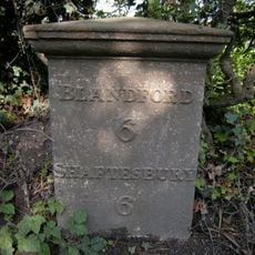
Milepost, S of village, 50m S of 30mph signs
918 mVisited this place? Tap the stars to rate it and share your experience / photos with the community! Try now! You can cancel it anytime.
Discover hidden gems everywhere you go!
From secret cafés to breathtaking viewpoints, skip the crowded tourist spots and find places that match your style. Our app makes it easy with voice search, smart filtering, route optimization, and insider tips from travelers worldwide. Download now for the complete mobile experience.

A unique approach to discovering new places❞
— Le Figaro
All the places worth exploring❞
— France Info
A tailor-made excursion in just a few clicks❞
— 20 Minutes