
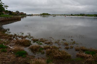
Aln Estuary Marine Conservation Zone, UK marine area established to protect nationally important, rare or threatened habitats and species
Location: Northumberland
Inception: November 21, 2013
GPS coordinates: 55.38750,-1.62111
Latest update: April 3, 2025 06:59
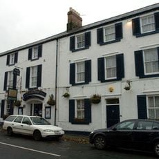
Schooner Hotel
556 m
St John the Baptist Parish Church, Alnmouth
555 m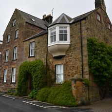
Marine House Private Hotel
623 m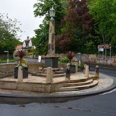
Alnmouth War Memorial
601 m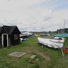
Ferryman's Hut Museum
499 m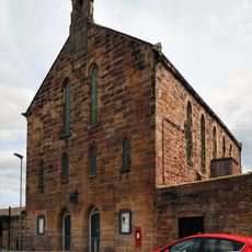
The Hindmarsh Hall
601 m
The Old Watch Tower And Attached Walls, In Grounds Of The Grange
457 m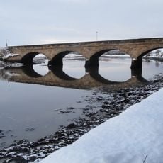
The Duchess' Bridge
442 m
Barndale Cottage Barndale House
532 m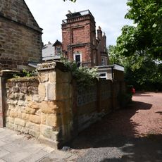
The Hall
515 m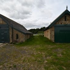
Lifeboat Station, Alnmouth
1 km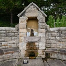
Pant On North Side Of Road To Lifeboat Station
884 m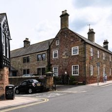
Driftwood Lodge
578 m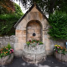
Pant On North Side Of Junction With The Wynd
588 m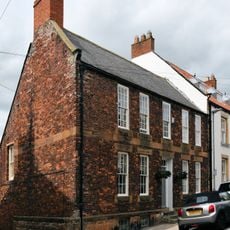
Alm House
546 m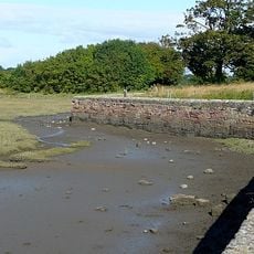
Old Harbour Wall
378 m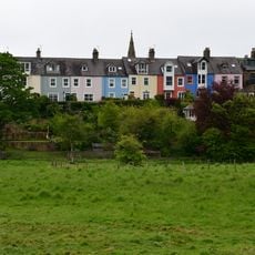
1-8, Lovaine Terrace
447 m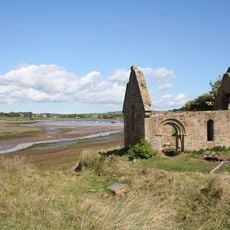
Ruined Chapel On West Side Of Church Hill
685 m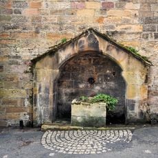
Pant Adjacent To Driftwood Lodge
590 m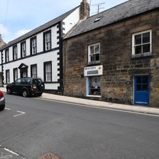
The Galleon
564 m
Seabank
567 m
6,7 And 8 With Attached Wall, Prospect Place
596 m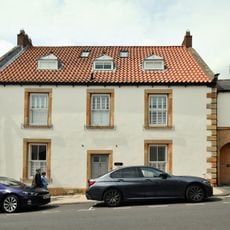
Seafield
540 m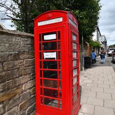
K6 Telephone Kiosk
543 m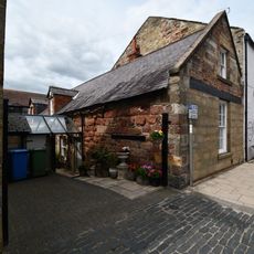
14, Northumberland Street
542 m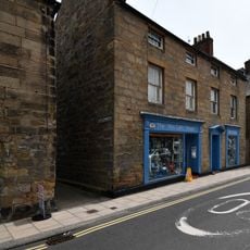
The Aln
571 m
1-4 Victoria Place with Attached Wall to North West
603 m
7 And 7A, Northumberland Street
563 mVisited this place? Tap the stars to rate it and share your experience / photos with the community! Try now! You can cancel it anytime.
Discover hidden gems everywhere you go!
From secret cafés to breathtaking viewpoints, skip the crowded tourist spots and find places that match your style. Our app makes it easy with voice search, smart filtering, route optimization, and insider tips from travelers worldwide. Download now for the complete mobile experience.

A unique approach to discovering new places❞
— Le Figaro
All the places worth exploring❞
— France Info
A tailor-made excursion in just a few clicks❞
— 20 Minutes