
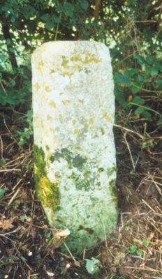
Milestone, W edge of Finmere Village, opp. boundary fence of school, milestone in Finmere, Cherwell, UK
Location: Cherwell
Inception: 19 century
GPS coordinates: 51.98910,-1.07275
Latest update: March 3, 2025 20:32
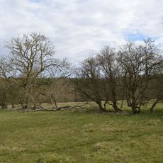
Tingewick Meadows
2 km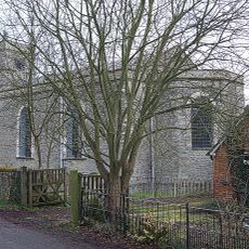
Church of Holy Trinity
4.3 km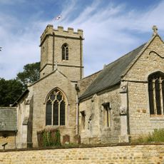
Church of St Mary Magdalen
2.1 km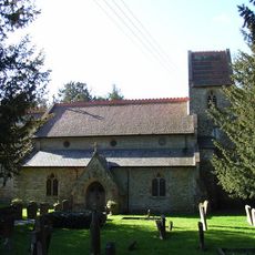
Church of St Augustine
3.3 km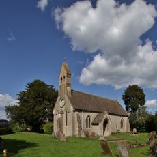
Church of St Michael
2.3 km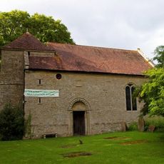
Church of St Giles
2.1 km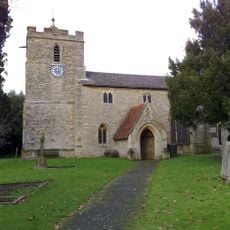
Church of St Michael
450 m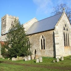
Church of All Saints
3.1 km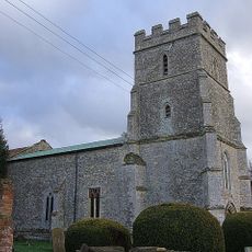
Church of St John
4 km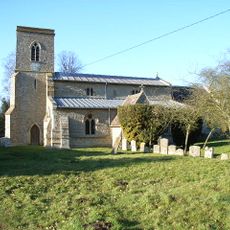
Church of St Michael and All Angels
4.7 km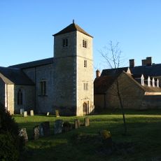
Church of St Mary and St Nicholas
2.9 km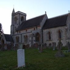
Church of St Edward
3.8 km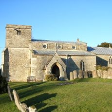
Church of St John the Baptist
3.4 km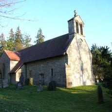
Church of St James
1.8 km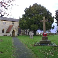
Finmere War Memorial in Churchyard of Church of St Michael and All Angels
423 m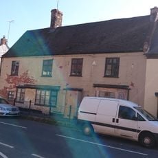
The Crown
1.9 km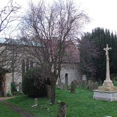
Radclive-cum-Chackmore War Memorial
4 km
Radclive Bridge
4.2 km
Sunday School And Cottage To West
2 km
Durrants
2 km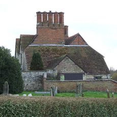
Radclive Manor
3.9 km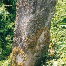
Milestone, The Pits, 100m W of Mixbury turn
3.3 km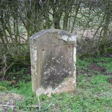
Milestone, Brackley Road; N of crossroads to Radclive and Manor Farm Buildings
4.2 km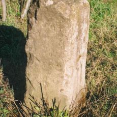
Milestone, old railway bridge, Mixbury Plantation, near turn to Widmore Farm
1.7 km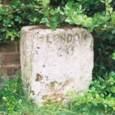
Milestone, Main Street; by The Hollies, W end of village
1.6 km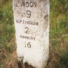
Milestone, Tingewick Road; by lane to Grovehill Farm, Dudley Bridge
3.2 km
Milestone, Brackley Road; half mile E of Westbury village
3.5 km
Milestone, Brackley Road; 100m W of Grove Farm turn
4.4 kmReviews
Visited this place? Tap the stars to rate it and share your experience / photos with the community! Try now! You can cancel it anytime.
Discover hidden gems everywhere you go!
From secret cafés to breathtaking viewpoints, skip the crowded tourist spots and find places that match your style. Our app makes it easy with voice search, smart filtering, route optimization, and insider tips from travelers worldwide. Download now for the complete mobile experience.

A unique approach to discovering new places❞
— Le Figaro
All the places worth exploring❞
— France Info
A tailor-made excursion in just a few clicks❞
— 20 Minutes