
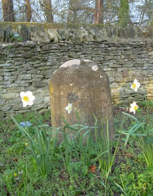
Milestone, Oxford Road; Blenheim Lower Park, opp. Long Close, milestone in Woodstock, West Oxfordshire, UK
Location: West Oxfordshire
Inception: 18 century
GPS coordinates: 51.84303,-1.34545
Latest update: March 3, 2025 17:01
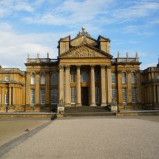
Blenheim Palace
1.1 km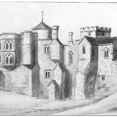
Woodstock Palace
1.1 km
The Oxfordshire Museum
957 m
Soldiers of Oxfordshire Museum
998 m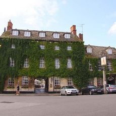
Bear Hotel
903 m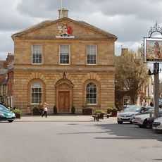
Town Hall
868 m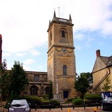
Church of St Mary Magdalene
929 m
The Punchbowl Inn
693 m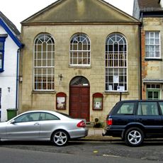
Baptist Church
812 m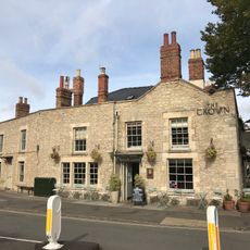
The Crown Inn
722 m
Statue of Hermes Approximately 450 Metres South South East of South Front of Blenheim Palace
902 m
Vickers Hotel And Restaurant
868 m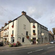
The Kings Arms Hotel
831 m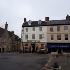
18 And 20, Market Place
909 m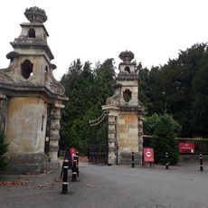
Hensington Gate
532 m
10, Oxford Street
688 m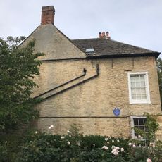
Garrett House And Attached Walls
957 m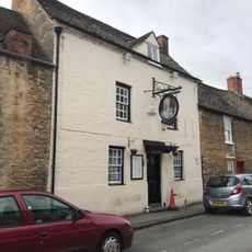
The King's Head Public House
771 m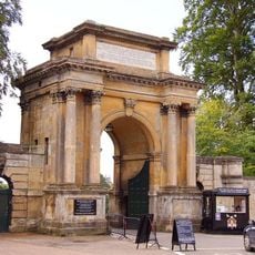
Woodstock Gate
1 km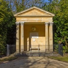
Temple Of Health
771 m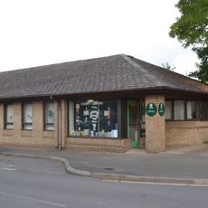
Woodstock Library
704 m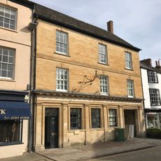
National Westminster Bank
900 m
The Star Inn And Attached Outbuildings
912 m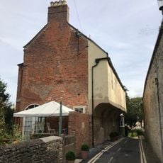
The White House
1 km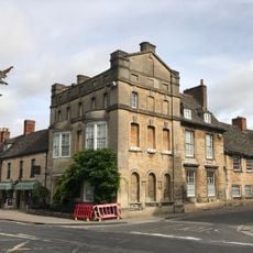
Hope House
718 m
8, Oxford Street
678 m
Hoggrove House
1 km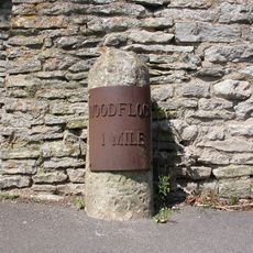
Milestone, Grove Road; by No.49, Hensington
972 mVisited this place? Tap the stars to rate it and share your experience / photos with the community! Try now! You can cancel it anytime.
Discover hidden gems everywhere you go!
From secret cafés to breathtaking viewpoints, skip the crowded tourist spots and find places that match your style. Our app makes it easy with voice search, smart filtering, route optimization, and insider tips from travelers worldwide. Download now for the complete mobile experience.

A unique approach to discovering new places❞
— Le Figaro
All the places worth exploring❞
— France Info
A tailor-made excursion in just a few clicks❞
— 20 Minutes