
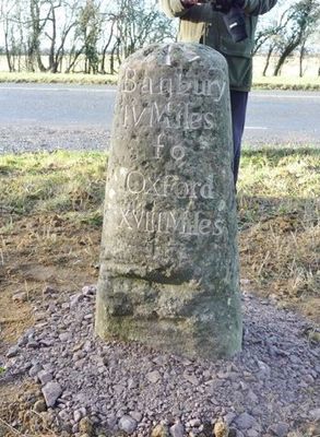
Milestone, S of turn to village, North of lay-by, milestone in North Aston, Cherwell, UK
Location: Cherwell
Inception: 18 century
GPS coordinates: 51.95332,-1.27895
Latest update: March 4, 2025 08:35
Deddington Castle
4 km
The White Horse Inn
4.1 km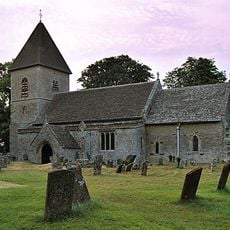
Church of St Olave
2.9 km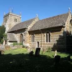
Church of St Mary Magdalene
3.9 km
Church of St Mary
2.7 km
Church of St Mary
1.6 km
Church of St Mary
3.9 km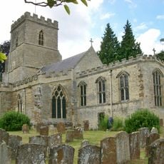
Church of St Peter and St Paul
3.2 km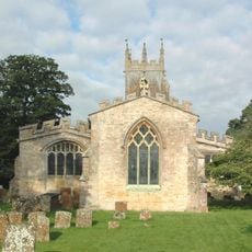
Church of St James
85 m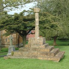
Churchyard Cross Approximately 12 Metres North Of Church Of St James
102 m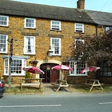
Crown And Tuns Public House
4.2 km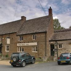
The Bell Inn
3.9 km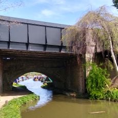
Bridge At Junction With Station Road, Plus Approach Walls
4.1 km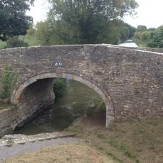
Bridge At Somerton Lock
1.3 km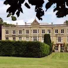
North Aston Hall
1.7 km
The Ridge House
3.9 km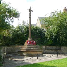
Steeple Aston War Memorial
3.6 km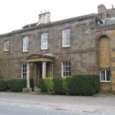
Deddington Manor
4.1 km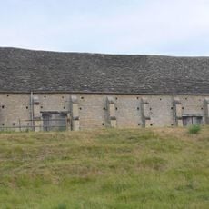
New College Barn
2.8 km
Cold War structures at the former Upper Heyford Airbase
2.3 km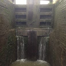
Somerton Lock
1.3 km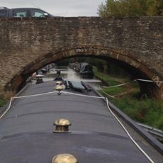
Bridge Number 190 At Aynho Wharf
3.7 km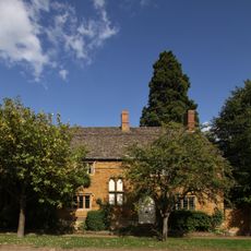
The Leadenporch House
4.1 km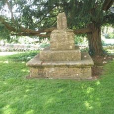
Churchyard Cross Approximately 8 Metres South Of Church Of St Peter And St Paul
3.2 km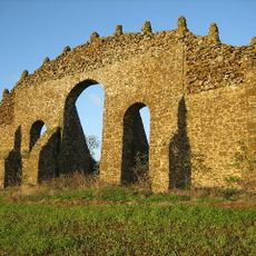
Eyecatcher At Sp 4828 2603
2.9 km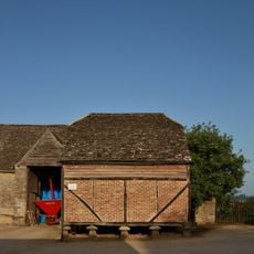
Granary Approximately 30 Metres South East Of Manor Farmhouse
2.7 km
Treholford
3.9 km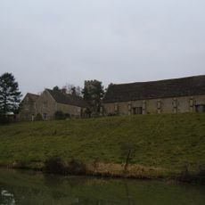
Manor Farmhouse
2.7 kmReviews
Visited this place? Tap the stars to rate it and share your experience / photos with the community! Try now! You can cancel it anytime.
Discover hidden gems everywhere you go!
From secret cafés to breathtaking viewpoints, skip the crowded tourist spots and find places that match your style. Our app makes it easy with voice search, smart filtering, route optimization, and insider tips from travelers worldwide. Download now for the complete mobile experience.

A unique approach to discovering new places❞
— Le Figaro
All the places worth exploring❞
— France Info
A tailor-made excursion in just a few clicks❞
— 20 Minutes