
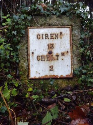
Milestone, roadside at SO9521, milestone in Cheltenham, UK
Location: Cheltenham
Inception: 19 century
GPS coordinates: 51.88753,-2.07405
Latest update: March 3, 2025 05:46
Cheltenham General Hospital
526 m
Thirlestaine House
397 m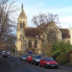
St Philip and St James Church, Leckhampton
555 m
Emmanuel Church
226 m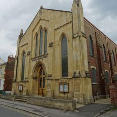
Bethesda Methodist Church
598 m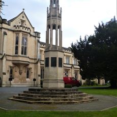
South African War Memorial At Entrance To Cheltenham College
540 m
The Suffolk Arms Public House
595 m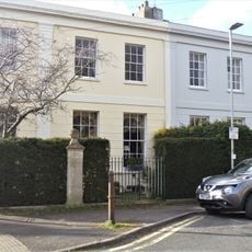
Number 2 And Attached Wall And Area Railings
573 m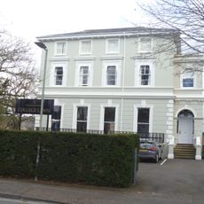
1, College Lawn
457 m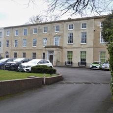
105 And 107, Bath Road
535 m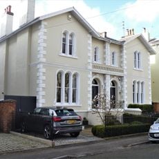
7 And 8, Montpellier Grove
605 m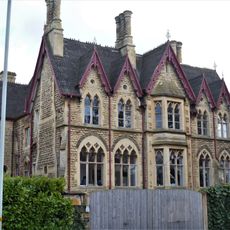
Dewerstone House
304 m
Pillar House
472 m
Queens House
361 m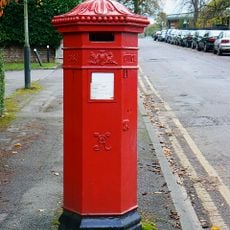
Pillar Box Outside Hammond Court
392 m
Boundary Wall To Thirlestaine House And Attached Garden Lodge To East End
387 m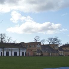
Cheltenham College Gymnasium, Pavilion, Five Courts And Attached Railings
351 m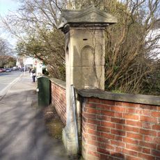
Boundary Walls And Piers To Lindley Fronting College Road And Sandford Road
551 m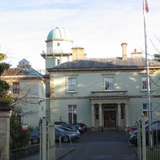
Main Entrance To Thirlestaine Hall
369 m
Boyne House
596 m
62 To 90, Keynsham Road
581 m
Number 6 And Attached Balustrade
333 m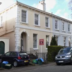
Numbers 5 And 6 And Attached Railings
595 m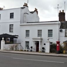
The Coach House
437 m
Numbers 3 And 4 With Attached Area Railings And Walls
583 m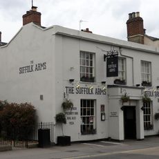
Brandon House
617 m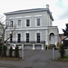
2, College Lawn
435 m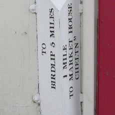
Milepost, Bath Road, Moorend, 15m S post office
399 mReviews
Visited this place? Tap the stars to rate it and share your experience / photos with the community! Try now! You can cancel it anytime.
Discover hidden gems everywhere you go!
From secret cafés to breathtaking viewpoints, skip the crowded tourist spots and find places that match your style. Our app makes it easy with voice search, smart filtering, route optimization, and insider tips from travelers worldwide. Download now for the complete mobile experience.

A unique approach to discovering new places❞
— Le Figaro
All the places worth exploring❞
— France Info
A tailor-made excursion in just a few clicks❞
— 20 Minutes