
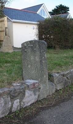
Milestone, Teignmouth Road, nr No. 36A, 200m W of Jack's Patch Garden Centre
Milestone, Teignmouth Road, nr No. 36A, 200m W of Jack's Patch Garden Centre, milestone in Bishopsteignton, Teignbridge, UK
Location: Teignbridge
Inception: 19 century
GPS coordinates: 50.54803,-3.54206
Latest update: April 20, 2025 03:37
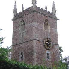
Church of St John the Baptist
422 m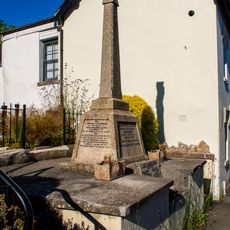
Bishopsteignton War Memorial
634 m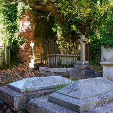
Ruins Of Chapel North East Of The Parish Church
444 m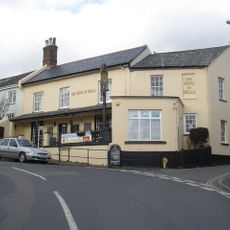
No 2 (The Ring Of Bells) Including Iron Railings In Front
612 m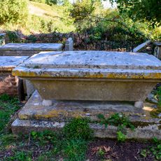
Elizabeth Williams Chest Tomb About 15 Metres South East Of The Chancel Of The Church Of St John The Baptist
420 m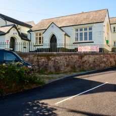
The Community Centre And Museum
562 m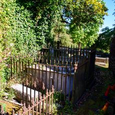
Group Of 3 Chest Tombs With Iron Railings Immediately East And North East Of The Chancel Of The Church Of St John The Baptist
435 m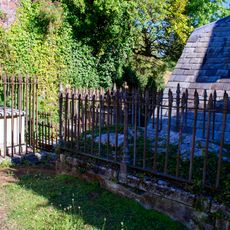
Pair Of Chest Tombs With Iron Railings, One Immediately North Of The Vestry, The Other About 2 Metres North East Of Vestry Of The Church Of St John The Baptist
439 m
Cross Gate Including Garden Walls, Railings And Gate
591 m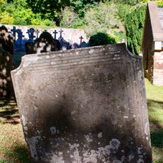
Maria Palmer Headstone About 6 Metres North Of The Tower Of The Church Of St John The Baptist
424 m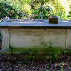
Gordon Chest Tomb About 21 Metres South Of The Chancel Of The Church Of St John The Baptist
408 m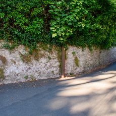
Garden Wall And Doorway To The Cottage
633 m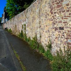
Garden Wall To North West Of Green
474 m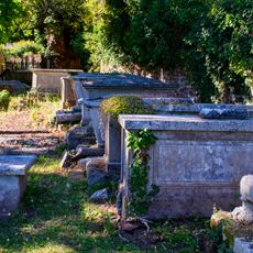
Row Of 10 Chest Tombs And One Table Tomb Against The South East Of Churchyard Wall Of The Church Of St John The Baptist
432 m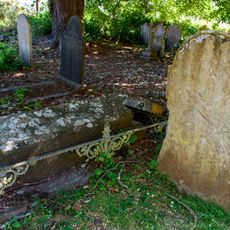
Underhill Chest Tomb, Headstone And Low Railings About 11 Metres South Of The Chancel Of The Church Of St John The Baptist
414 m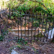
Chest Tomb, Headstone And Railings Against The South Wall Of The Churchyard About 21 Metres South East Of Church Of St John The Baptist
412 m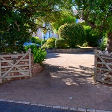
Cockhaven House
432 m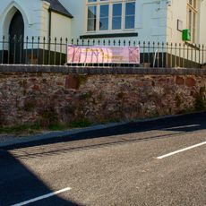
Stone Rubble Retaining Wall And Railings In Front Of The Community Centre And Museum
553 m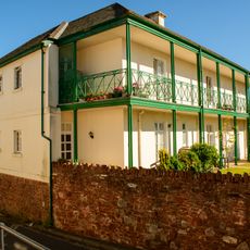
Cross House
599 m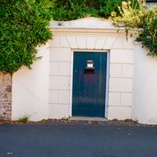
Garden Walls And Archway To Garden Of Vincent Lodge
632 m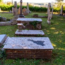
Chest Tomb And Ledger Stone About 8 Metres South Of West Wall Of Nave Of Church Of St John The Baptist
405 m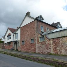
Green
512 m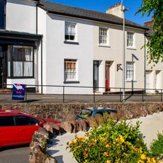
16 And 18, Fore Street
631 m
Wall To Raised Pavement On North East Side Of Fore Street
612 m
14, Fore Street
629 m
Socket Stone Of Medieval Cross In Garden South West Of Cross House
587 m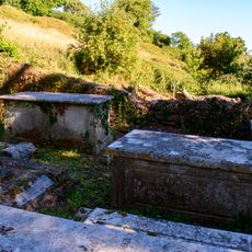
Pair Of Chest Tombs In South West Corner Of Churchyard
425 m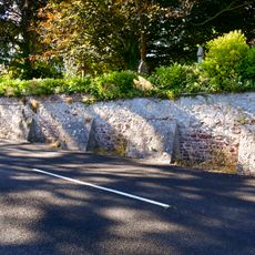
Churchyard Walls, Gate-Piers, Railings And Carriage And Pedestrian Gates
389 mReviews
Visited this place? Tap the stars to rate it and share your experience / photos with the community! Try now! You can cancel it anytime.
Discover hidden gems everywhere you go!
From secret cafés to breathtaking viewpoints, skip the crowded tourist spots and find places that match your style. Our app makes it easy with voice search, smart filtering, route optimization, and insider tips from travelers worldwide. Download now for the complete mobile experience.

A unique approach to discovering new places❞
— Le Figaro
All the places worth exploring❞
— France Info
A tailor-made excursion in just a few clicks❞
— 20 Minutes