
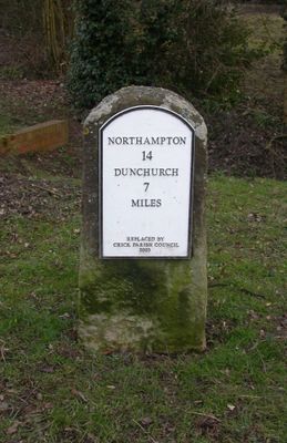
Milestone, Main Road, E of bridleway to Kilsby, milestone in Crick, Daventry, UK
Location: Daventry
Inception: 19 century
GPS coordinates: 52.34628,-1.14075
Latest update: April 26, 2025 18:33
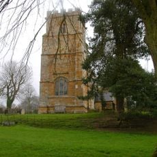
Church of St Michael
4.2 km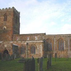
Church of St Peter and St Paul, Watford
3.7 km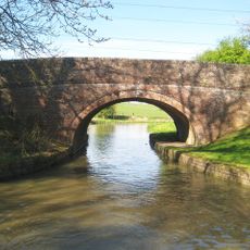
Bridge Number 23
3.6 km
Church of St Margaret
229 m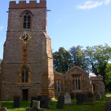
Church of All Saints
3.3 km
Church of St Leodegarius
4.4 km
Church of St Faith
2.6 km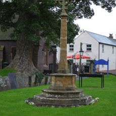
Crick War Memorial in St Margaret's Churchyard
217 m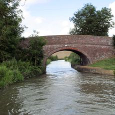
Bridge Number 22
3.2 km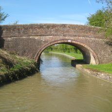
Bridge Number 24
4.1 km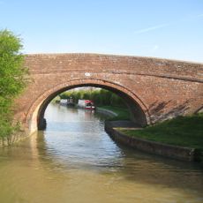
Bridge Number 21
3.1 km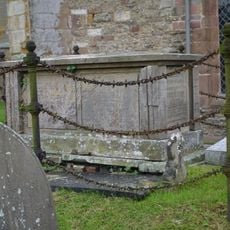
Chest Tomb Approximately 4 Metres North Of North East Corner Of Chancel At Church Of St Margaret
257 m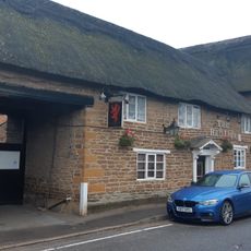
Red Lion Public House And Attached Barn
303 m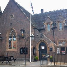
Ex Servicemen's Club
237 m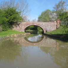
Bridge Number 25
4.3 km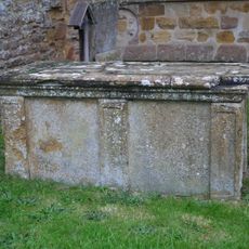
Chest Tomb Approximately 2 Metres South Of Chancel Of Church Of St Margaret
253 m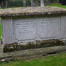
Chest Tomb Approximately 5 Metres South Of Chancel Of Church Of St Margaret
253 m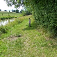
Milepost At Sp 6169 7425, Grand Union Canal
3.6 km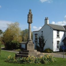
Yelvertoft War Memorial at Junction of Swinnertons Lane and High Street
3.4 km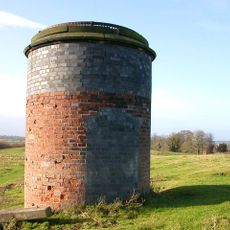
North Ventilation Shaft, Kilsby Tunnel
2.3 km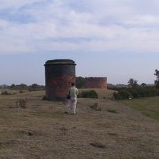
South Ventilation Shaft, Kilsby Tunnel
2.4 km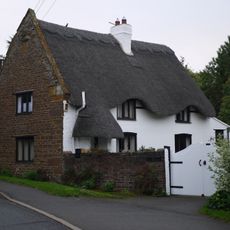
The Old Post House
170 m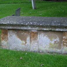
Chest Tomb Approximately 5 Metres South East Of South Porch Of Church Of St Margaret
229 m
Hillside And Attached Barns
201 m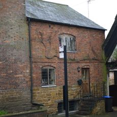
Northgate House
217 m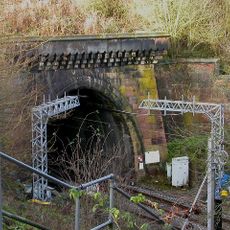
South Entrance To Kilsby Railway Tunnel
2.7 km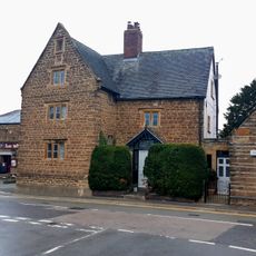
The Malting
264 m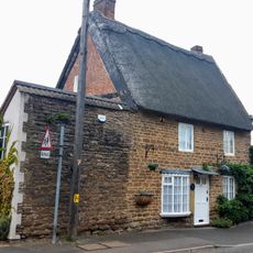
23, Main Road
303 mReviews
Visited this place? Tap the stars to rate it and share your experience / photos with the community! Try now! You can cancel it anytime.
Discover hidden gems everywhere you go!
From secret cafés to breathtaking viewpoints, skip the crowded tourist spots and find places that match your style. Our app makes it easy with voice search, smart filtering, route optimization, and insider tips from travelers worldwide. Download now for the complete mobile experience.

A unique approach to discovering new places❞
— Le Figaro
All the places worth exploring❞
— France Info
A tailor-made excursion in just a few clicks❞
— 20 Minutes