
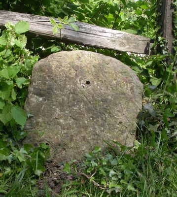
Milestone, Rye Road at TQ8975122482, milestone in Rye Foreign, Rother, UK
Location: Rother
Inception: 19 century
GPS coordinates: 50.97049,0.70122
Latest update: April 1, 2025 22:21
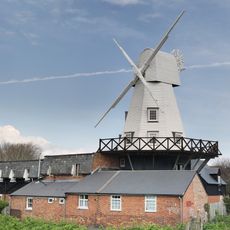
Gibbet Mill
2.9 km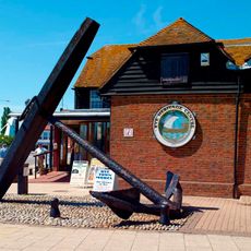
Rye Heritage Centre
3 km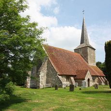
The Parish Church of St Michael
2.4 km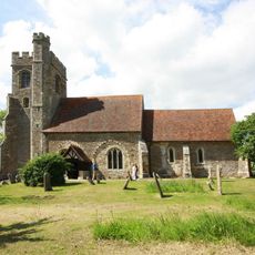
The Parish Church of All Saints
2.2 km
The Parish Church of St Peter and St Paul
1.2 km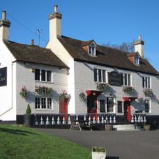
The Cock Inn
1.3 km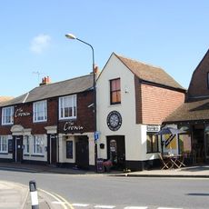
The Crown Inn
3 km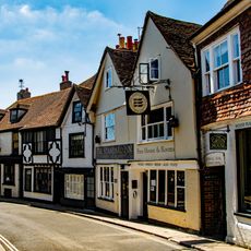
The Standard Inn
3 km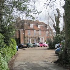
Flackley Ash
1.9 km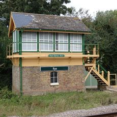
Rye Signal Box
2.9 km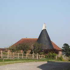
Cadborough Oast
2.9 km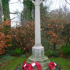
Iden War Memorial
2.5 km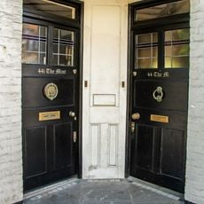
44 And 44A, High Street
3 km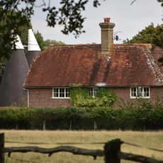
Dew Farmhouse
2.1 km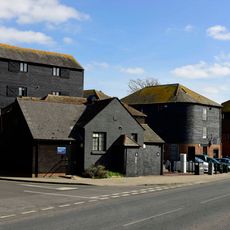
Warehouses Or Granaries On The West Side Of The Strand And In The Occupation Of Stonham And Company Agricultural Merchants And H R Clothier Agricultural And Marine Engineers And The Garden Centre
3.1 km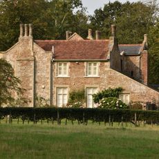
Peasmarsh House
1.5 km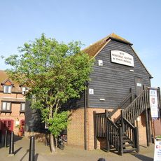
Rye Heritage Centre
3 km
The Old House
3 km
67, High Street
3 km
26, Landgate
3.1 km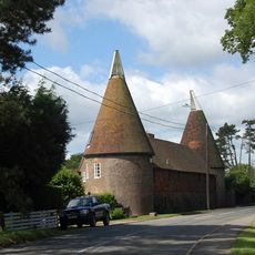
Oasthouses And Barn At Watland To The North East Of The House
3 km
37-67, Military Road
3 km
Portion Of The Town Walls To The South Of Cinque Ports Street And West Of Conduit Hill
3.1 km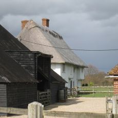
Oxenbridge Farmhouse
2.8 km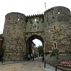
The Landgate
3.1 km
15-24, Landgate
3.1 km
Milestone, Rye Road Hill, opp. Top o' the Hill PH, 25m N of jct with Saltcote Lane
2.6 km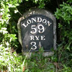
Milestone, Main Street; 80m E jcn Tanhouse Lane
1.4 kmVisited this place? Tap the stars to rate it and share your experience / photos with the community! Try now! You can cancel it anytime.
Discover hidden gems everywhere you go!
From secret cafés to breathtaking viewpoints, skip the crowded tourist spots and find places that match your style. Our app makes it easy with voice search, smart filtering, route optimization, and insider tips from travelers worldwide. Download now for the complete mobile experience.

A unique approach to discovering new places❞
— Le Figaro
All the places worth exploring❞
— France Info
A tailor-made excursion in just a few clicks❞
— 20 Minutes