
Guidestone, Four Lane Ends, guide stone in Clitheroe, Ribble Valley, UK
Location: Ribble Valley
Inception: 19 century
GPS coordinates: 53.86346,-2.37478
Latest update: May 22, 2025 14:54

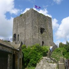
Clitheroe Castle
1.4 km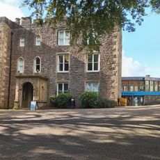
Clitheroe Castle Museum
1.4 km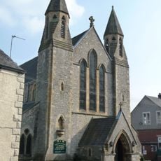
St Michael and St John Church, Clitheroe
1.4 km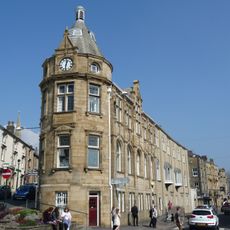
Clitheroe Library
1.5 km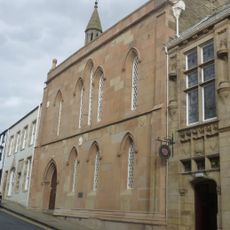
Town Hall
1.5 km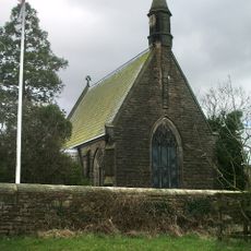
Parish Church of All Saints, Pendleton
1.4 km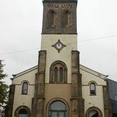
Church of St James
1.2 km
3 and 5, Church Street
1.5 km
6 and 8, Church Street
1.5 km
10, Church Street
1.5 km
22 Church Street
1.5 km
Number 4 And Church Court
1.5 km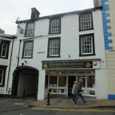
1, Church Street
1.5 km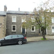
15, Church Street
1.5 km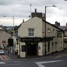
Brown Cow Public House
1.3 km
The Grand
1.5 km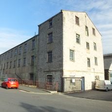
Holmes Mill
1.4 km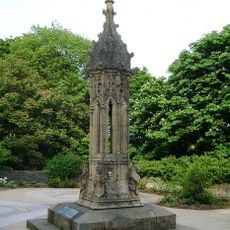
Turret From Houses Of Parliament In Gardens Of Clitheroe Castle
1.4 km
2 Church Street
1.5 km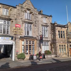
Rose And Crown Hotel
1.5 km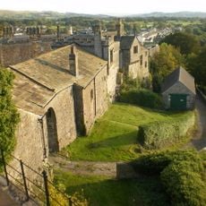
Outbuilding And Stable Block To Clitheroe Castle And Premises Occupied By Ribble Valley Borough Council
1.5 km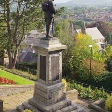
Clitheroe War Memorial
1.4 km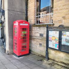
K6 Telephone Kiosk Outside Premises Occupied By Yorkshire Bank
1.5 km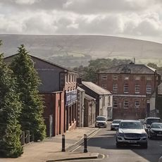
33 And 35, Lowergate
1.3 km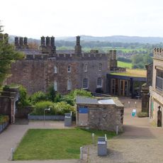
Premises Occupied By Ribble Valley Borough Council In Grounds Of Clitheroe Castle
1.4 km
1 and 3, Moor Lane
1.4 km
34-38, York Street
1.5 km
Mytton House and Number 13
1.5 kmReviews
Visited this place? Tap the stars to rate it and share your experience / photos with the community! Try now! You can cancel it anytime.
Discover hidden gems everywhere you go!
From secret cafés to breathtaking viewpoints, skip the crowded tourist spots and find places that match your style. Our app makes it easy with voice search, smart filtering, route optimization, and insider tips from travelers worldwide. Download now for the complete mobile experience.

A unique approach to discovering new places❞
— Le Figaro
All the places worth exploring❞
— France Info
A tailor-made excursion in just a few clicks❞
— 20 Minutes