
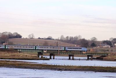
Cattawade Viaduct, viaduct across an inlet of the River Stour betwee Manningtree and Ipswich, Suffolk
Location: Brantham
Inception: 1904
GPS coordinates: 51.95276,1.06019
Latest update: March 3, 2025 17:36
Flatford Mill
2.7 km
Mistley Towers
1.4 km
St Mary's Church, Lawford
1.8 km
Cattawade Marshes
911 m
Corn Exchange
858 m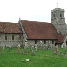
Church of St Michael and All Angels
1.7 km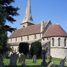
Church of St Mary and St Michael
1.3 km
Methodist Church
1.1 km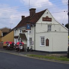
The Crown Public House
463 m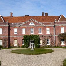
Lawford Hall
1.8 km
The Red Lion Public House
942 m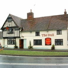
The Bull, Brantham
2.6 km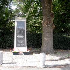
Lawford War Memorial
2.1 km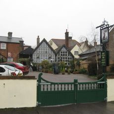
The Crown Public House Including Extension And Carriageway To Right
891 m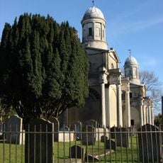
Mistley Towers, North West Tower
1.4 km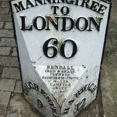
Milepost
849 m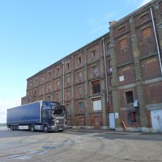
No. 2 Maltings
1.6 km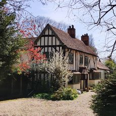
Orvis Croft
2.7 km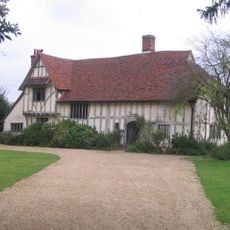
Valley Farmhouse
2.7 km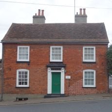
Russell House
923 m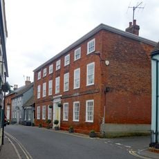
The Surgery
931 m
Former AAOR And County Emergency HQ
2.2 km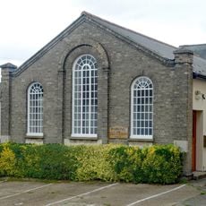
Methodist Church Hall
1.1 km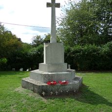
Brantham War Memorial Cross
1.7 km
River Stour Viaduct, Manningtree
299 m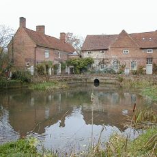
Millers House And Cottage
2.7 km
Milestone, 300m E of A137 jct
1.9 km
Milepost, Market Place at TM10543184
851 mReviews
Visited this place? Tap the stars to rate it and share your experience / photos with the community! Try now! You can cancel it anytime.
Discover hidden gems everywhere you go!
From secret cafés to breathtaking viewpoints, skip the crowded tourist spots and find places that match your style. Our app makes it easy with voice search, smart filtering, route optimization, and insider tips from travelers worldwide. Download now for the complete mobile experience.

A unique approach to discovering new places❞
— Le Figaro
All the places worth exploring❞
— France Info
A tailor-made excursion in just a few clicks❞
— 20 Minutes