
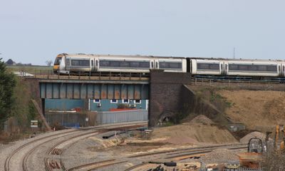
Bicester intersection bridge, railway bridge in Bicester, Oxfordshire, UK
Location: Bicester
Inception: 1910
GPS coordinates: 51.89926,-1.13815
Latest update: March 3, 2025 12:09
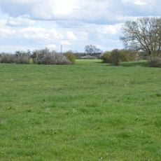
Arncott Bridge Meadows
4.4 km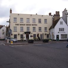
Kings Arms Hotel
875 m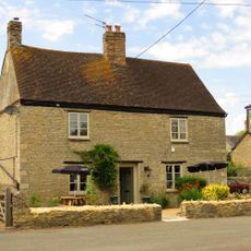
The Launton Arms
1.3 km
Church of St Mary and St Edburga, Stratton Audley
3.7 km
Church of St Mary
1.1 km
Church of St Mary the Virgin
3.4 km
Church of St Lawrence
2.9 km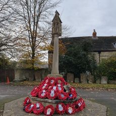
Bicester War Memorial
1.2 km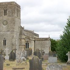
Church of St Mary, Chesterton
3.5 km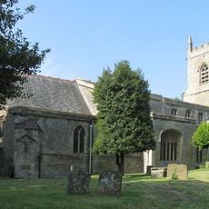
Church of St Edburg, Bicester
1.2 km
Bell Inn
980 m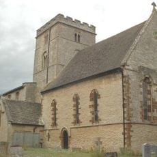
Church of St Peter
4.4 km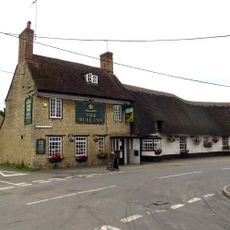
The Bull Inn
1.5 km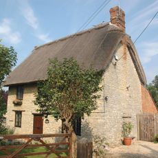
Holly Tree Cottage
3.5 km
The Old Court House
889 m
45 And 52, Market Square
888 m
17, Market Square
931 m
44, Market Square
888 m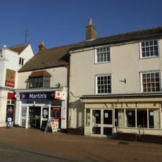
20, Sheep Street
863 m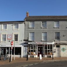
7 And 8, Market Square
853 m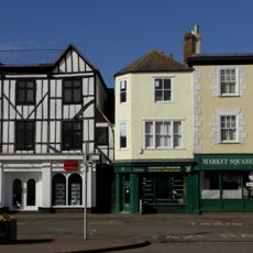
46, 48 And 51, Market Square
888 m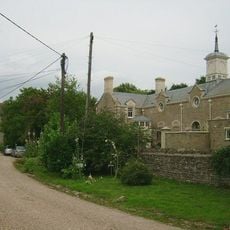
Chesterton Lodge Including Forecourt Balustrade Immediately West
3.4 km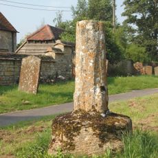
Ambrosden Cross
3.4 km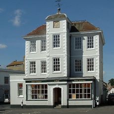
47, Market Square
885 m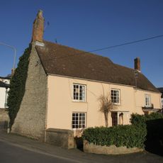
9, London Road
834 m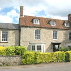
Park Farmhouse
3.5 km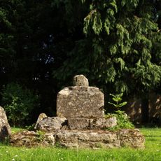
Churchyard Cross Approximately 6 Metres South Of Church Of St Mary
1.1 km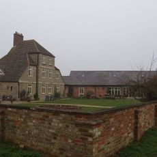
Merton Grounds Farmhouse
3.9 kmReviews
Visited this place? Tap the stars to rate it and share your experience / photos with the community! Try now! You can cancel it anytime.
Discover hidden gems everywhere you go!
From secret cafés to breathtaking viewpoints, skip the crowded tourist spots and find places that match your style. Our app makes it easy with voice search, smart filtering, route optimization, and insider tips from travelers worldwide. Download now for the complete mobile experience.

A unique approach to discovering new places❞
— Le Figaro
All the places worth exploring❞
— France Info
A tailor-made excursion in just a few clicks❞
— 20 Minutes