
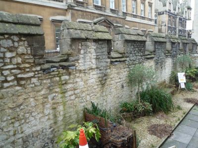
Medieval city wall, with burial ground, part of the city wall in Bath, UK
Location: Bath and North East Somerset
GPS coordinates: 51.38248,-2.36147
Latest update: March 3, 2025 04:34
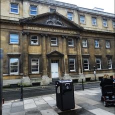
Royal Mineral Water Hospital
60 m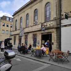
Former Unitarian Church
65 m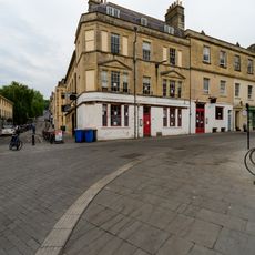
Broadleys Vaults Public House
61 m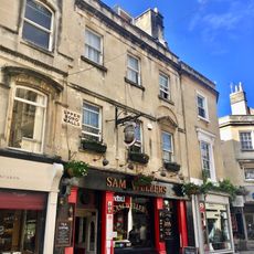
Sam Wellers
70 m
The Raven
82 m
Old Bond Street
43 m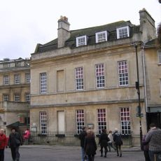
Beau Nash's House, With Railings
84 m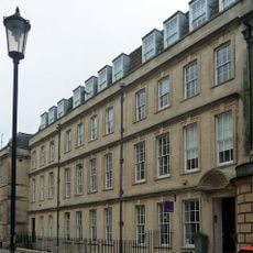
15, 16 And 17, Trim Street
49 m
Blue Coat House
43 m
14-17, Old Bond Street
51 m
14, Union Passage
77 m
5-10, Old Bond Street
52 m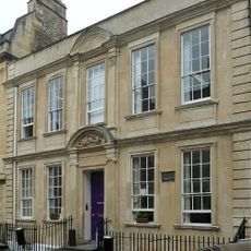
General Wolfe's House, With Railings
30 m
11 And 11A, Queen Street
49 m
Union Street
79 m
Gascoyne House
39 m
No. 1 St John's Gatehouse
35 m
2, Burton Street
67 m
3, 4 And 4A, Burton Street
64 m
12, Union Passage
79 m
11-14, New Bond Street
78 m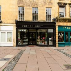
1, Burton Street
66 m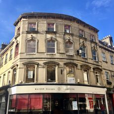
5, Burton Street
61 m
7-11 Quiet Street
82 m
Burton Street
52 m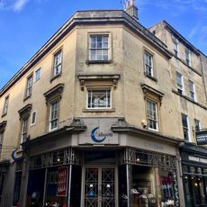
11 And 12, Upper Borough Walls
80 m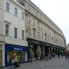
6-11, Union Street
66 m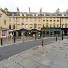
20 And 21, Old Bond Street
82 mVisited this place? Tap the stars to rate it and share your experience / photos with the community! Try now! You can cancel it anytime.
Discover hidden gems everywhere you go!
From secret cafés to breathtaking viewpoints, skip the crowded tourist spots and find places that match your style. Our app makes it easy with voice search, smart filtering, route optimization, and insider tips from travelers worldwide. Download now for the complete mobile experience.

A unique approach to discovering new places❞
— Le Figaro
All the places worth exploring❞
— France Info
A tailor-made excursion in just a few clicks❞
— 20 Minutes