
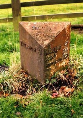
Milepost, Statfold, milepost in Tamworth, UK
Location: Tamworth
Inception: 20 century
GPS coordinates: 52.65670,-1.64974
Latest update: May 7, 2025 14:12

Church of St Editha
3.9 km
Town Hall
4 km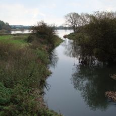
Alvecote Pools
2 km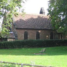
St Editha's Church, Amington
2.1 km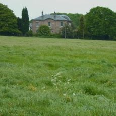
Amington Hall
1.2 km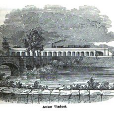
Bolehall Viaduct
3.8 km
Church of All Saints
2.4 km
Church of St Leonard
2.9 km
Church of St Matthew
2.2 km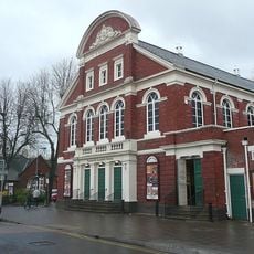
Tamworth Assembly Rooms
4 km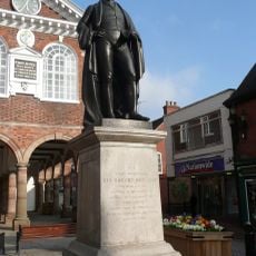
Statue of Robert Peel
4.1 km
Odeon Tamworth
3.9 km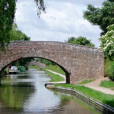
Coventry Canal Bridge Number 69
2.7 km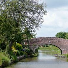
Coventry Canal Bridge Number 70
2.9 km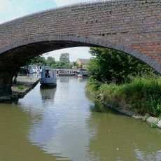
Coventry Canal Towpath Bridge To Entrance To Basin
3.9 km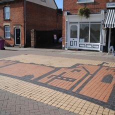
St Editha's Church pavement mural
3.8 km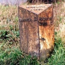
Milepost At Ngr Sk 1968 0650
4.1 km
Spital Chapel of St James
3.3 km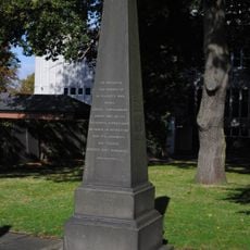
Edward Farmer memorial
3.9 km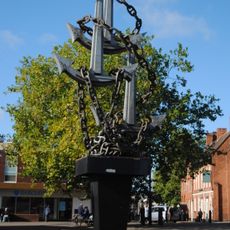
Colin Grazier Memorial
3.9 km
10, Colehill
3.9 km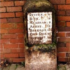
Milestone Approximately 47 Metres North Of Junction With Hospital Street
3.8 km
Upper Lodge To North East Of Tamworth Castle
4.1 km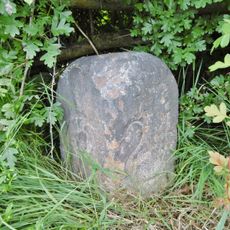
Coventry Canal Milepost Approximately 107 Metres To North East Of Bridge Number 65
2 km
Causeway Walls To North East Of Tamworth Castle
4.1 km
Milepost, Perry Crofts
2.9 km
Willington Lodge
4.1 km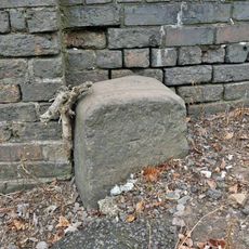
Milestone, Glascote Road
3.7 kmReviews
Visited this place? Tap the stars to rate it and share your experience / photos with the community! Try now! You can cancel it anytime.
Discover hidden gems everywhere you go!
From secret cafés to breathtaking viewpoints, skip the crowded tourist spots and find places that match your style. Our app makes it easy with voice search, smart filtering, route optimization, and insider tips from travelers worldwide. Download now for the complete mobile experience.

A unique approach to discovering new places❞
— Le Figaro
All the places worth exploring❞
— France Info
A tailor-made excursion in just a few clicks❞
— 20 Minutes