
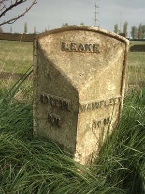
Milepost, E of jct with Shaw Lane, milepost in Old Leake, Boston, UK
Location: Boston
Inception: 19 century
GPS coordinates: 53.02914,0.10239
Latest update: March 7, 2025 15:52
Church of St Helen
2.4 km
Church of St Margaret
5.7 km
Church of St Mary and St Nicholas
1.6 km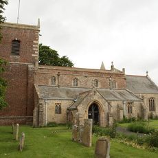
Church of St Andrew
5.6 km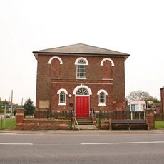
Methodist Church
2.5 km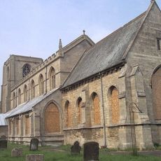
Church of All Saints
3.8 km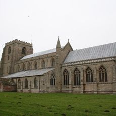
St Mary's Church
415 m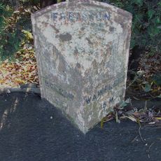
Milepost West Of Church End Road
6.5 km
Bridge Number 9
4.2 km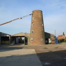
Howsams Mill
2.4 km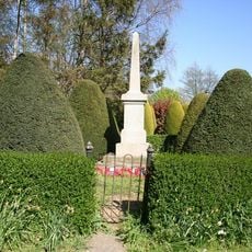
Leverton War Memorial
2.1 km
Bridge Number 10 (Station Bridge)
4.4 km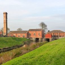
Lade Bank Pumping Station
5.4 km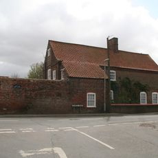
The Old Brewhouse
5.8 km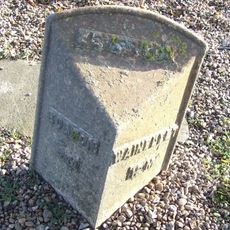
Mile Post In Centre Of Village
2.6 km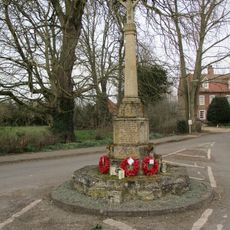
Wrangle War Memorial
1.6 km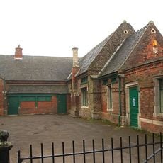
Old School
6.2 km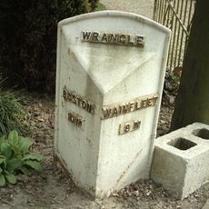
Mile Post, North Of Gypsy Lane
2.7 km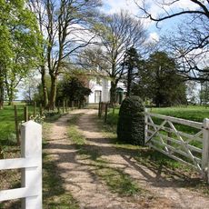
The Old Rectory
3.8 km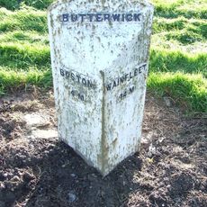
Mile Post, West Of Junction With Mill Lane
5.2 km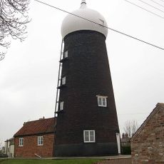
Toft Mill
3.5 km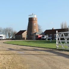
Wrangle Mill
3.1 km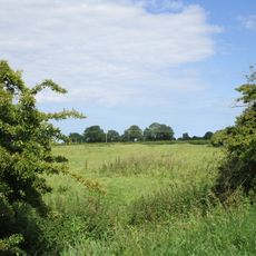
Abbey Hills moated site
6.3 km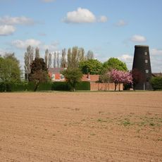
Butterwick Mill
5.2 km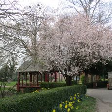
Lychgate
412 m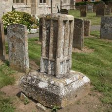
Sundial In South Side Of Churchyard Of Church Of St Mary And St Nicholas
1.6 km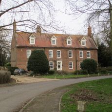
Old Vicarage
1.7 km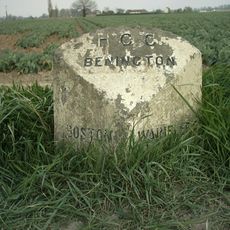
Milepost, Benington, N of jct with Butterwick Road
4 kmReviews
Visited this place? Tap the stars to rate it and share your experience / photos with the community! Try now! You can cancel it anytime.
Discover hidden gems everywhere you go!
From secret cafés to breathtaking viewpoints, skip the crowded tourist spots and find places that match your style. Our app makes it easy with voice search, smart filtering, route optimization, and insider tips from travelers worldwide. Download now for the complete mobile experience.

A unique approach to discovering new places❞
— Le Figaro
All the places worth exploring❞
— France Info
A tailor-made excursion in just a few clicks❞
— 20 Minutes