
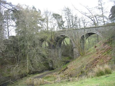
Lintley Viaduct, railway viaduct over the Thornhope Burn in Northumberland, UK
Location: Knaresdale with Kirkhaugh
Inception: 1852
GPS coordinates: 54.85405,-2.48933
Latest update: March 2, 2025 19:51
Eals Bridge
4.2 km
South Tynedale Railway
5.3 km
Williamston Bridge
979 m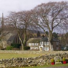
Church of the Holy Paraclete
2.1 km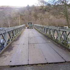
Parson Shields bridge
2.1 km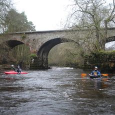
Alston railway bridge
4.6 km
Kirkhaugh footbridge
1.8 km
Cross 10 Metres South Of Parish Church Door
2.1 km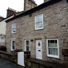
Monument View
5.6 km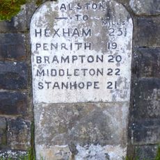
Milestone Set Into Rounded Corner Of Wall To West Of Town Hall
5.6 km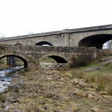
Burnstones Bridge
3.4 km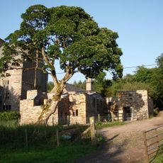
Clarghyll Hall
4.3 km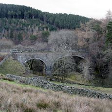
Gilderdale Viaduct
3 km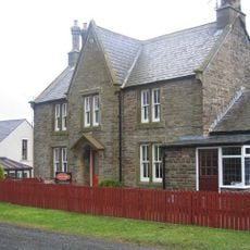
Slaggyford Station
1.6 km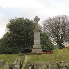
Knarsdale War Memorial
3.2 km
The Gatehouse
4.6 km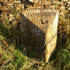
Milestone To South West Of Newshield
4.2 km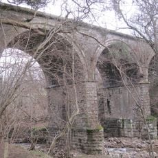
Knar Burn Viaduct
2.2 km
Whitley Castle
2.6 km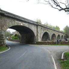
Burnstones Viaduct
3.4 km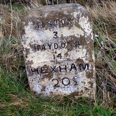
Milestone To West Of Clargillhead
5.1 km
Sun House, Adjoining North End Of Orchard House
5.5 km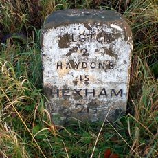
Milestone To North Of Whitehouse
4.6 km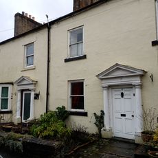
House Adjoining South End Of Monument View
5.6 km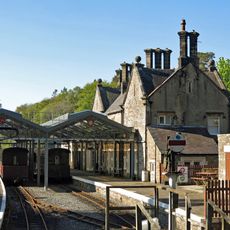
Station House
5.4 km
Orchard House
5.5 km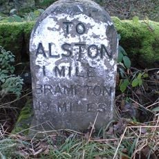
Milestone, Harbut Law, 100m S of entrance to Sheepriggs
4.6 km
House Adjoining North End Of Monument View
5.6 kmReviews
Visited this place? Tap the stars to rate it and share your experience / photos with the community! Try now! You can cancel it anytime.
Discover hidden gems everywhere you go!
From secret cafés to breathtaking viewpoints, skip the crowded tourist spots and find places that match your style. Our app makes it easy with voice search, smart filtering, route optimization, and insider tips from travelers worldwide. Download now for the complete mobile experience.

A unique approach to discovering new places❞
— Le Figaro
All the places worth exploring❞
— France Info
A tailor-made excursion in just a few clicks❞
— 20 Minutes