
Scenic viewpoint
Location: Communauté de paroisses du Steinacker
Location: Westhoffen
GPS coordinates: 48.60959,7.43214
Latest update: October 24, 2025 17:39
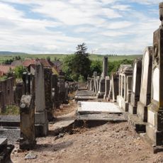
Jewish cemetery in Westhoffen
649 m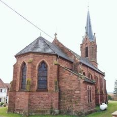
Église Sainte-Catherine de Balbronn
2.7 km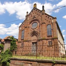
Synagogue of Balbronn
2.9 km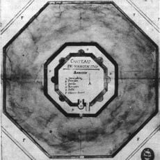
Château de Wangen
2.6 km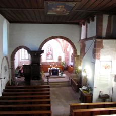
Église protestante de Balbronn
2.8 km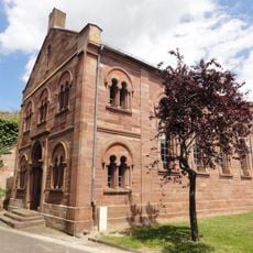
Synagogue of Westhoffen
949 m
Papeterie Pasquay
2.6 km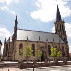
Église protestante Saint-Martin de Westhoffen
1.2 km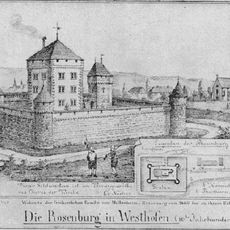
Ancien château
1.1 km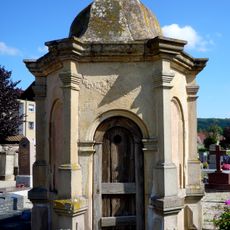
Wasselonne Protestant Communal Cemetery
2.8 km
Église simultanée Saint-Étienne de Wangen
2.6 km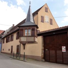
Maison au 29, rue Birris à Westhoffen
1.1 km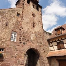
Fortifications of Wangen
2.7 km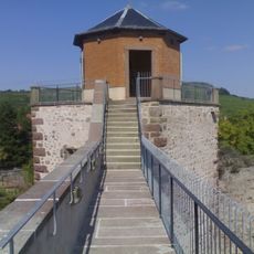
Fortifications of Westhoffen
969 m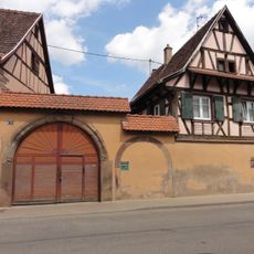
Maison au 32, rue Birris à Westhoffen
1.2 km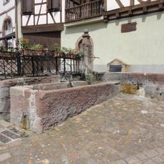
Fontaine de Westhoffen
998 m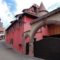
Maison, 1 rue des Remparts (Westhoffen)
1 km
Maison au 66, rue du Général-Georges-Strohl à Wangen
2.6 km
Maison au 3, rue du Klingeltor à Westhoffen
865 m
Maison au 34, rue Birris à Westhoffen
1.2 km
Maison, 2 rue Birris (Westhoffen)
1.1 km
Maison au 2, place de Juillet à Westhoffen
873 m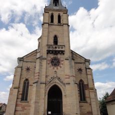
Église Saint-Martin, Westhoffen
1.2 km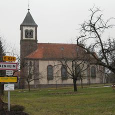
Église Saints-Pierre-et-Paul de Traenheim
2.6 km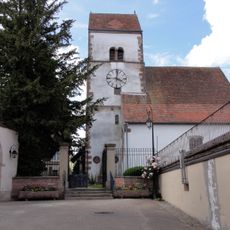
Église protestante de Traenheim
2.8 km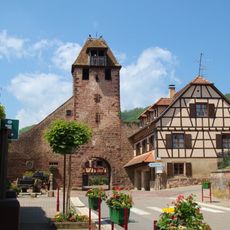
Niedertor, Wangen
2.8 km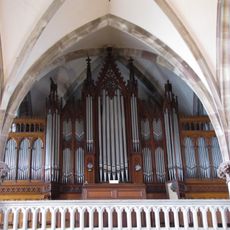
Orgue de tribune de l'église protestante Saint-Martin de Westhoffen
1.2 km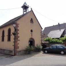
Chapelle Sainte-Croix de Wangen
2.7 kmReviews
Visited this place? Tap the stars to rate it and share your experience / photos with the community! Try now! You can cancel it anytime.
Discover hidden gems everywhere you go!
From secret cafés to breathtaking viewpoints, skip the crowded tourist spots and find places that match your style. Our app makes it easy with voice search, smart filtering, route optimization, and insider tips from travelers worldwide. Download now for the complete mobile experience.

A unique approach to discovering new places❞
— Le Figaro
All the places worth exploring❞
— France Info
A tailor-made excursion in just a few clicks❞
— 20 Minutes