
Scenic viewpoint
Location: Communauté de paroisses de la Sauer et du Seltzbach
Location: Niederrœdern
GPS coordinates: 48.92081,8.04237
Latest update: October 24, 2025 17:39
St. Stephen
5.7 km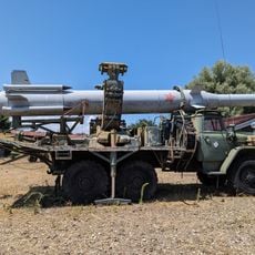
Musée de l'Abri
6 km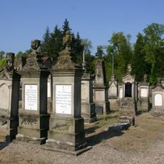
Jewish cemetery of Niederroedern
2.1 km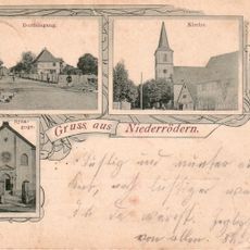
Niederrœdern synagogue
1.6 km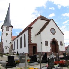
St. Martin
6.1 km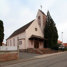
Église Saint-Ulrich
2.7 km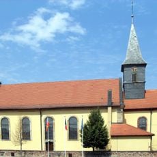
St. Sixtus
3.7 km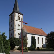
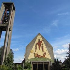
Saint James the Elder
1.7 km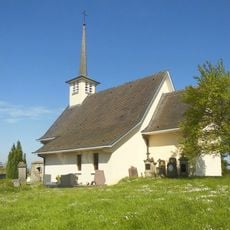
Temple protestant Saint-Wendelin de Niederseebach
4.5 km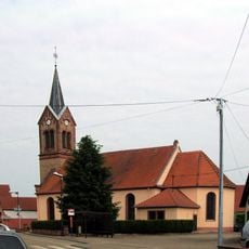
Église Saint-Martin de Schaffhouse-près-Seltz
4.4 km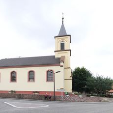
Église protestante de Crœttwiller
1.5 km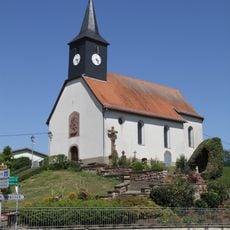
Church of Saint Giles in Wintzenbach
4.8 km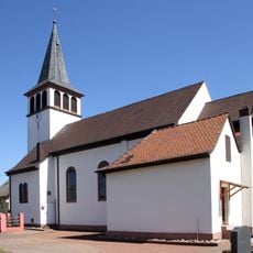
Église Notre-Dame de la Nativité de Kesseldorf
5.4 km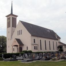
Église Saint-Georges de Stundwiller
4 km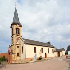
Church of Saint Lawrence in Siegen
4.2 km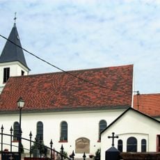
Saint-Louis in Eberbach-Seltz
2 km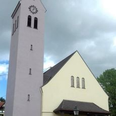
Église de l'Immaculée-Conception d'Oberrœdern
5.1 km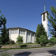
St. Michael
5.1 km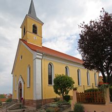
Church of Saint Lawrence in Trimbach
2.6 km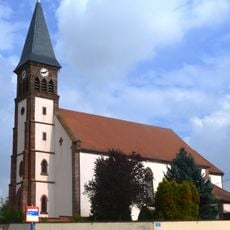
Église de l'Immaculée-Conception d'Aschbach
4.6 km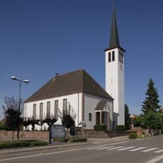
Protestant church (Hatten)
5.2 km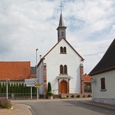
Protestant church in Trimbach
2.6 km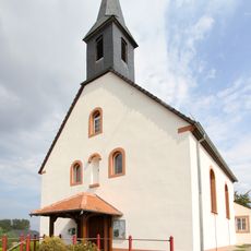
Chapel of Visitation of the Virgin Mary
2.8 km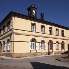
Town hall of Seltz
5.7 km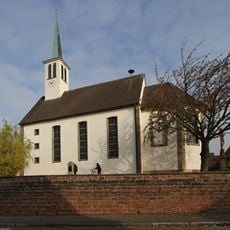
Temple protestant in Buhl
1.1 km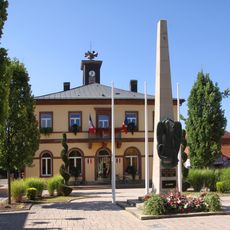
War memorial of Seltz
5.7 km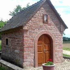
Chapelle de la Vierge d'Aschbach
4.2 km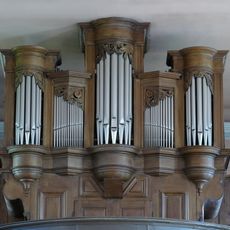
Orgue de l'église Saint-Jacques-le-Majeur de Niederrœdern
1.7 kmReviews
Visited this place? Tap the stars to rate it and share your experience / photos with the community! Try now! You can cancel it anytime.
Discover hidden gems everywhere you go!
From secret cafés to breathtaking viewpoints, skip the crowded tourist spots and find places that match your style. Our app makes it easy with voice search, smart filtering, route optimization, and insider tips from travelers worldwide. Download now for the complete mobile experience.

A unique approach to discovering new places❞
— Le Figaro
All the places worth exploring❞
— France Info
A tailor-made excursion in just a few clicks❞
— 20 Minutes