Drinking fountain, water well
Location: Saint-Lary-Soulan
GPS coordinates: 42.81659,0.31997
Latest update: November 16, 2025 21:35
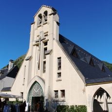
Église Saint-Bertrand de Saint-Lary
139 m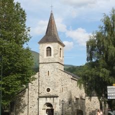
Chapelle Sainte-Marie
431 m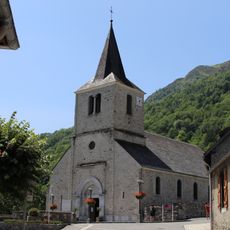
Église Saint-Jacques de Vignec
827 m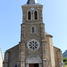
Église Saint-Laurent de Sailhan
1.2 km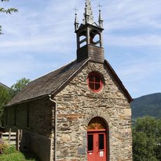
Chapelle Notre-Dame-de-Pitié de Cadeilhan-Trachère
629 m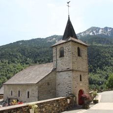
Église Saint-Missolin-Saint-Blaise de Trachère
623 m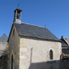
Chapelle Saint-Antoine de Padoue
1.6 km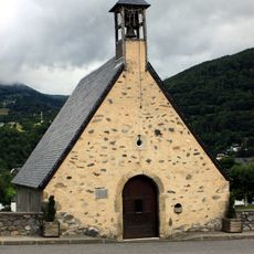
Chapelle Saint-Jacques
1 km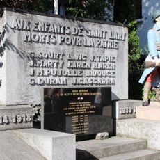
War memorials in Saint-Lary-Soulan
147 m
Water well, drinking fountain
219 m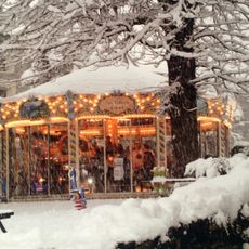
Les enfants d'abord
67 m
Scenic viewpoint
1.5 km
L'ours, l'enfant
69 m
Croix
816 m
Maison de l'Ours
222 m
Les deux airains et le carillon
175 m
Sculpture, Work of art
66 m
Work of art, statue
286 m
Wayside cross
1.1 km
Carrousel
79 m
Monument
567 m
Wayside cross
1.1 km
Monument aux Morts
1.2 km
Wayside cross
941 m
Wayside cross
333 m
Madame Therese Nars 1859-1937
423 m
Wayside cross
787 m
Wayside cross
435 mReviews
Visited this place? Tap the stars to rate it and share your experience / photos with the community! Try now! You can cancel it anytime.
Discover hidden gems everywhere you go!
From secret cafés to breathtaking viewpoints, skip the crowded tourist spots and find places that match your style. Our app makes it easy with voice search, smart filtering, route optimization, and insider tips from travelers worldwide. Download now for the complete mobile experience.

A unique approach to discovering new places❞
— Le Figaro
All the places worth exploring❞
— France Info
A tailor-made excursion in just a few clicks❞
— 20 Minutes