Drinking fountain, water well
Location: Fleury-les-Aubrais
GPS coordinates: 47.92474,1.91977
Latest update: November 12, 2025 09:00
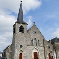
Église Saint-André de Fleury-les-Aubrais
705 m
Drinking fountain, water well
772 m
Drinking fountain, water well
624 m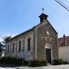
Chapelle Saint-Marc de la Barrière Saint-Marc
761 m
Playground
336 m
Playground
621 m
Playground
185 m
Playground
496 m
Playground
592 m
Playground
279 m
Playground
191 m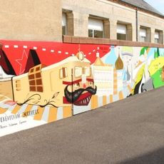
La Russie du Transsibérien de Moscou à Vladivostok (Bustière)
610 m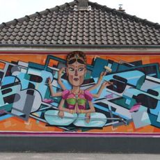
L'Inde, des Maharadjas à Bollywood
867 m
Canopé
468 m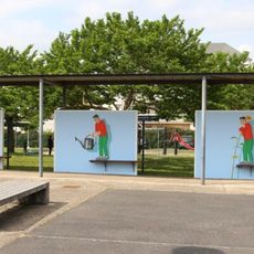
Mural, Work of art
475 m
Installation artwork, Work of art
970 m
Work of art
105 m
Arosoir
958 m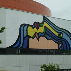
Le Boom des années 50
93 m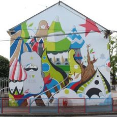
La Russie du Transsibérien de Moscou à Vladivostok (Jules-Ferry)
594 m
Canopé
459 m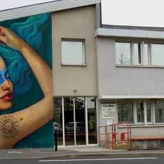
La Carte du Tendre ou le GPS de l'amour
772 m
Église Saint-André
756 m
La Croix Fleurie
595 m
Wayside cross
728 m
Wayside cross
371 m
Memorial
662 m
Memorial, war memorial
760 mReviews
Visited this place? Tap the stars to rate it and share your experience / photos with the community! Try now! You can cancel it anytime.
Discover hidden gems everywhere you go!
From secret cafés to breathtaking viewpoints, skip the crowded tourist spots and find places that match your style. Our app makes it easy with voice search, smart filtering, route optimization, and insider tips from travelers worldwide. Download now for the complete mobile experience.

A unique approach to discovering new places❞
— Le Figaro
All the places worth exploring❞
— France Info
A tailor-made excursion in just a few clicks❞
— 20 Minutes