
Scenic viewpoint
Location: Nieuwkerke
Location: Heuvelland
GPS coordinates: 50.74237,2.81573
Latest update: October 24, 2025 17:20
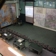
Kemmel command bunker
3.7 km
Plugstreet 14-18
4.6 km
National Botanical Conservatory of Bailleul
4.4 km
Berks Cemetery Extension
4.7 km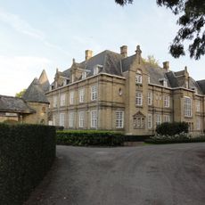
Kasteel De Warande
4.2 km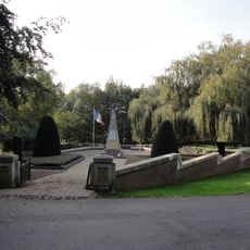
Kemmelberg Ossuary
4.1 km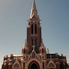
Église Saint-Martin de Nieppe
4.6 km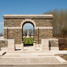
Trois Arbres Cemetery, Steenwerck
4.3 km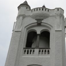
Belvedère
4.1 km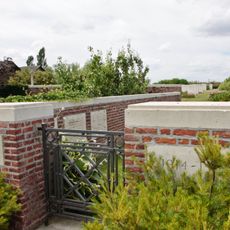
RE Farm Cemetery
4.2 km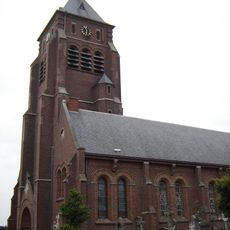
Sint-Laurentiuskerk
4.7 km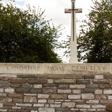
Kandahar Farm Cemetery
2.6 km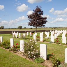
Maple Leaf Cemetery
2.9 km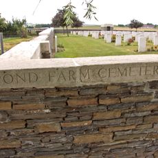
Pond Farm Cemetery
3.6 km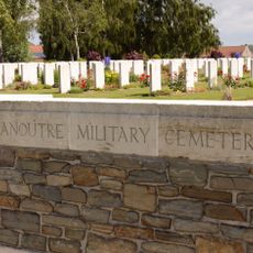
Dranoutre Military Cemetery
3.7 km
Lindenhoek Chalet Military Cemetery
3.8 km
Westhof Farm Cemetery
917 m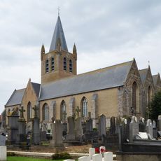
Onze-Lieve-Vrouwkerk
851 m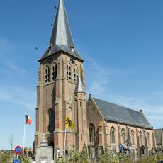
Sint-Machutuskerk
3.3 km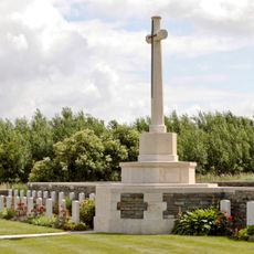
Locre No.10 Cemetery
4.3 km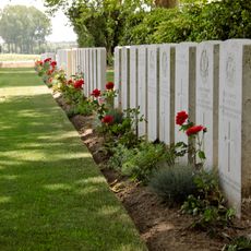
Wulverghem-Lindenhoek Road Military Cemetery
3.1 km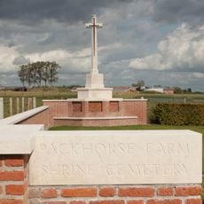
Packhorse Farm Shrine Cemetery
3.3 km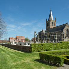
Nieuwkerke Churchyard
836 m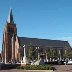
Sint-Jan-Baptistkerk
3.5 km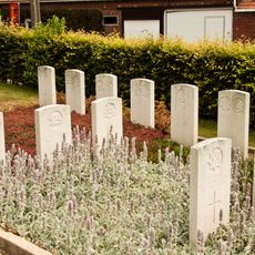
Wulvergem Churchyard
3.3 km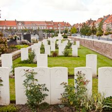
Nieuwkerke Churchyard, Commonwealth Plot
790 m
Chapelle Saint-Antoine de Padoue de Nieppe
4.5 km
Chapelle Notre-Dame de Bonsecours de Nieppe
3.6 kmReviews
Visited this place? Tap the stars to rate it and share your experience / photos with the community! Try now! You can cancel it anytime.
Discover hidden gems everywhere you go!
From secret cafés to breathtaking viewpoints, skip the crowded tourist spots and find places that match your style. Our app makes it easy with voice search, smart filtering, route optimization, and insider tips from travelers worldwide. Download now for the complete mobile experience.

A unique approach to discovering new places❞
— Le Figaro
All the places worth exploring❞
— France Info
A tailor-made excursion in just a few clicks❞
— 20 Minutes