Shin-Tokyo Tomin Golf Ground
Location: 新田
Location: 川口市
GPS coordinates: 35.78115,139.73975
Latest update: November 19, 2025 10:10
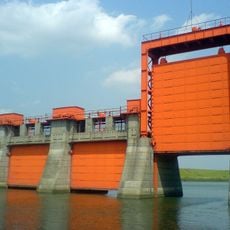
Old Iwabuchi Sluice Gates
740 m
Adachi Urban Agricultural Park
553 m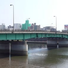
Shin Kamiya Bridge
1.2 km
西蓮寺
594 m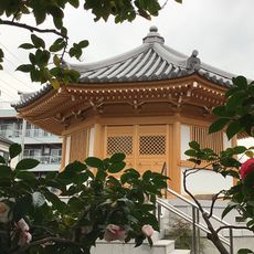
Hōzō-ji
1.3 km
専福寺
1.2 km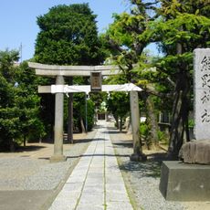
Kumano-jinja
720 m
長楽寺
1.1 km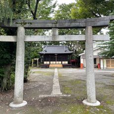
Kōkoya Hikawa-jinja
664 m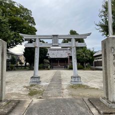
Shima Hikawa-jinja
901 m
草刈りの碑
1 km
京成押上線旧荒川橋梁基礎杭
1 km
月を射る
1.1 km
三峯神社
655 m
川口パブリックゴルフ場
1.2 km
攝政宮殿下御野立之跡
1 km
船堀閘門頭頂部
1 km
荒川放水路完成記念碑
1 km
Wayside shrine
1 km
Present
1.2 km
Wayside shrine, Buddhism
1.1 km
Wayside shrine
878 m
Wayside shrine
906 m
Wayside shrine
912 m
供養塔
832 m
Memorial
833 m
Memorial
834 m
Wayside shrine, Buddhism
833 mReviews
Visited this place? Tap the stars to rate it and share your experience / photos with the community! Try now! You can cancel it anytime.
Discover hidden gems everywhere you go!
From secret cafés to breathtaking viewpoints, skip the crowded tourist spots and find places that match your style. Our app makes it easy with voice search, smart filtering, route optimization, and insider tips from travelers worldwide. Download now for the complete mobile experience.

A unique approach to discovering new places❞
— Le Figaro
All the places worth exploring❞
— France Info
A tailor-made excursion in just a few clicks❞
— 20 Minutes