Coromandel Golf Course
Location: Thames-Coromandel District
GPS coordinates: -36.75014,175.49033
Latest update: November 14, 2025 02:12
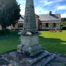
Queen Victoria Monument
1.1 km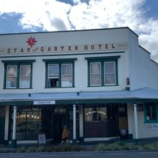
Rostgard’s Drapery
1.2 km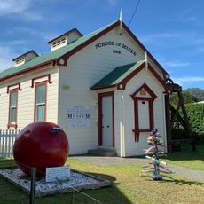
School of Mines Museum
1.2 km
Cottage
1.2 km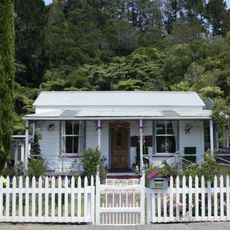
Ward Cottage
1 km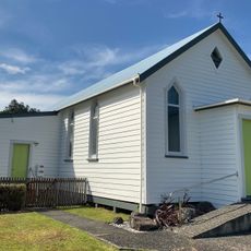
Methodist Church
1.2 km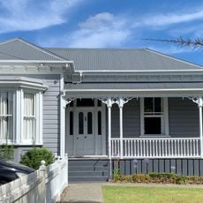
House
1.2 km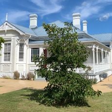
House
1.2 km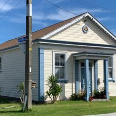
Masonic Lodge No 17
1.2 km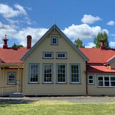
Primary School and Shelter Sheds
1.1 km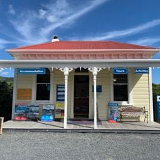
Hauraki Mine Office
1.2 km
Ring’s Homestead (Former)
1.3 km
Reilly House (Former)
1.2 km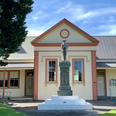
Coromandel Courthouse
1.1 km
Catherine Mine Machinery Foundations
717 m
McNeill House
1.2 km
Schubert House
1 km
Lillis House
1.2 km
Fairlawns
1 km
Mine Manager's House (Former)
1.3 km
Wesleyan Chapel (Former)
1.1 km
Gallery 6
1.2 km
Star Gallery
1.2 km
Scenic viewpoint
939 m
Kauri tree viewpoint
980 m
Archaeological site
923 m
Memorial
1 km
Memorial
1.1 kmReviews
Visited this place? Tap the stars to rate it and share your experience / photos with the community! Try now! You can cancel it anytime.
Discover hidden gems everywhere you go!
From secret cafés to breathtaking viewpoints, skip the crowded tourist spots and find places that match your style. Our app makes it easy with voice search, smart filtering, route optimization, and insider tips from travelers worldwide. Download now for the complete mobile experience.

A unique approach to discovering new places❞
— Le Figaro
All the places worth exploring❞
— France Info
A tailor-made excursion in just a few clicks❞
— 20 Minutes