Hermitage Golf Club
Location: Lucan-Heights DED 1986
Location: South Dublin
GPS coordinates: 53.36358,-6.41161
Latest update: December 12, 2025 08:19
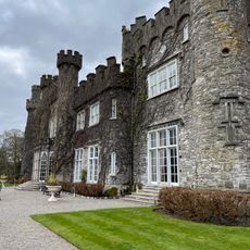
Luttrellstown Castle
1.8 km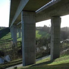
West-Link
1.9 km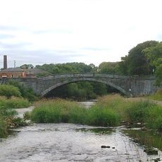
Lucan Bridge
2.3 km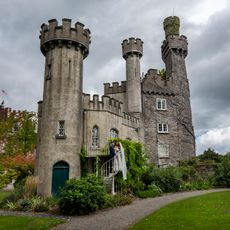
Luttrellstown Castle
1.7 km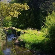
King John's Bridge
2.5 km
Irishtown Castle
1.7 km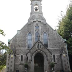
St Mochta's Church, Porterstown
982 m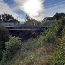
Kirkpatrick Bridge (Sheephill)
2 km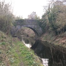
Kennan Bridge (Porterstown)
1.8 km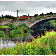
Coldblow Bridge
2.5 km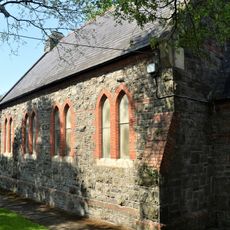
Lucan Methodist Church
2.6 km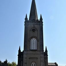
St Andrew's Church of Ireland, Lucan
2.5 km
James MacCarten Memorial
1.9 km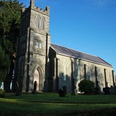
St Mary's Church (Clonsilla)
2.4 km
Callaghan Bridge
2.3 km
Luttrellstown Golf Course
1.6 km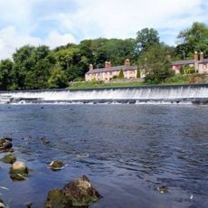
Anna Liffey Weir
1.7 km
Night Sky
2.6 km
Castleknock Golf and Country Club
903 m
Home Sweet Home
2.2 km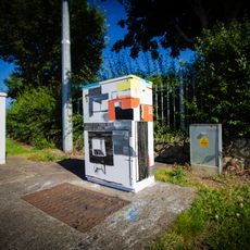
Connections Between
2.1 km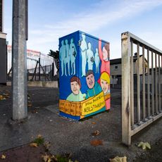
Youth Culture
2.4 km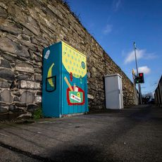
School Days
1.8 km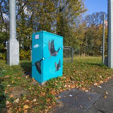
The flight of the wild geese
1 km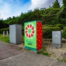
Strawberry Yields Forever
2.3 km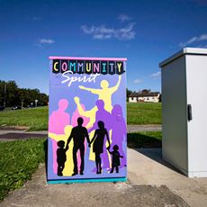
Community Spirit
2.5 km
Scenic viewpoint
2.3 km
Waterfall
676 mVisited this place? Tap the stars to rate it and share your experience / photos with the community! Try now! You can cancel it anytime.
Discover hidden gems everywhere you go!
From secret cafés to breathtaking viewpoints, skip the crowded tourist spots and find places that match your style. Our app makes it easy with voice search, smart filtering, route optimization, and insider tips from travelers worldwide. Download now for the complete mobile experience.

A unique approach to discovering new places❞
— Le Figaro
All the places worth exploring❞
— France Info
A tailor-made excursion in just a few clicks❞
— 20 Minutes