
Wildgehege der Forschungsstelle für Jagdkunde und Wildschadenverhütung
Location: Bonn-Beuel
Location: Bonn
GPS coordinates: 50.73513,7.16789
Latest update: May 23, 2025 13:49
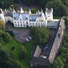
Kommende Ramersdorf
1.2 km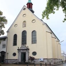
St. Adelheid (Pützchen)
1.5 km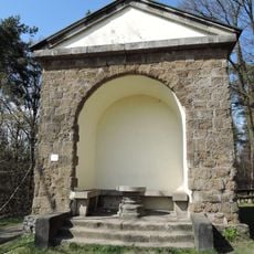
Foveaux-Häuschen
875 m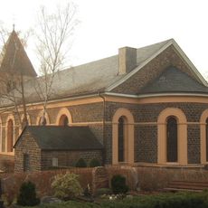
St. Gallus (Küdinghoven)
1.4 km
Holtorfer Hardt
335 m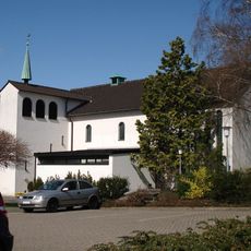
Christ-König-Kirche
1.3 km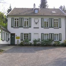
Forsthaus Hardt
53 m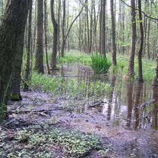
Siebengebirge Teilgebiet Ennert
787 m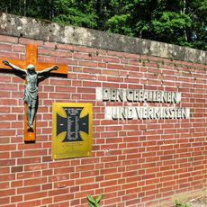
Ehrenmal Holzlar
1.3 km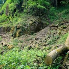
Landschaftsschutzgebiet Teilgebiet Finkenberg
1.3 km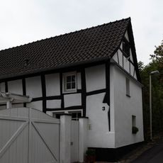
Kommendeweg 3
1.4 km
Glückstraße 30
1.3 km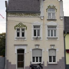
Marktstraße 29
1.5 km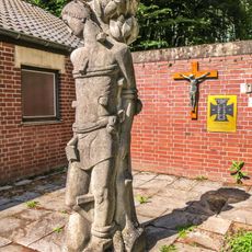
Figur des heiligen Sebastian
1.3 km
Kirchstraße 54
1.4 km
Vogelschwarm
1.1 km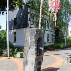
Brunnen Antoniusplatz (Holtorf)
1.3 km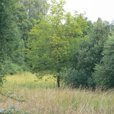
Weiers Wiesen
1.4 km
Lindenstraße 50
1.4 km
Glückstraße 33
1.3 km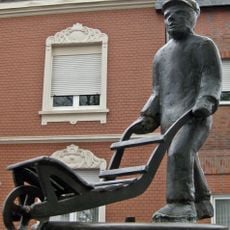
Schürreskarrenbrunnen (Ramersdorf)
1.4 km
Löwenburgstraße 81
1.2 km
Lindenstraße 35
1.4 km
Lindenstraße 52
1.4 km
Am Conzberg 2
1.4 km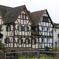
Hauptstraße 61
1.1 km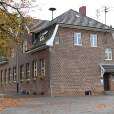
Hauptstraße 105
1.1 km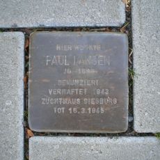
Stolperstein dedicated to Paul Langen
1.1 kmReviews
Visited this place? Tap the stars to rate it and share your experience / photos with the community! Try now! You can cancel it anytime.
Discover hidden gems everywhere you go!
From secret cafés to breathtaking viewpoints, skip the crowded tourist spots and find places that match your style. Our app makes it easy with voice search, smart filtering, route optimization, and insider tips from travelers worldwide. Download now for the complete mobile experience.

A unique approach to discovering new places❞
— Le Figaro
All the places worth exploring❞
— France Info
A tailor-made excursion in just a few clicks❞
— 20 Minutes