Holtorfer Hardt, Mountain summit in North Rhine-Westphalia, Germany.
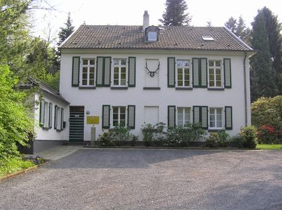
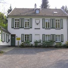
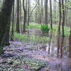
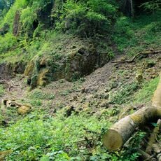
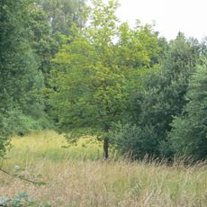
Holtorfer Hardt is a summit in North Rhine-Westphalia rising to about 151 meters above sea level, surrounded by mixed forest and crisscrossed by marked hiking trails. The mountain sits within a broader landscape of rolling hills known as the Pleiser Hügelland.
The mountain formed as part of the Rhineland slate mountains, a geological formation shaped over millions of years. This ancient geology continues to influence the landscape and terrain of the entire region today.
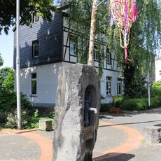
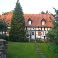
Walking and outdoor time are central to how locals experience this part of the region. The trails and summit are places where people from nearby communities regularly spend time in nature and connect with their surroundings.
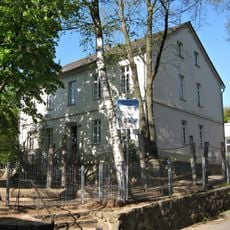
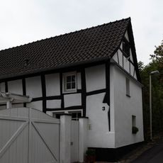
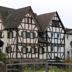
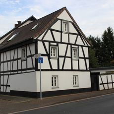
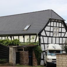
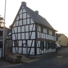
Several hiking routes reach the summit from Sankt Augustin and surrounding towns, with varying distances and difficulty levels depending on your choice. The marked trails pass through or near small residential areas, making navigation straightforward.
The area is woven into a network of hiking connections that link this location with many other natural sites nearby. Visitors often discover that what appears to be a standalone hill is actually part of a larger web of connected natural exploration routes.
The community of curious travelers
AroundUs brings together thousands of curated places, local tips, and hidden gems, enriched daily by 60,000 contributors worldwide.