Leguane
Location: Oshikoto Region
GPS coordinates: -18.81244,17.05165
Latest update: November 16, 2025 15:59
Namutoni
11.7 km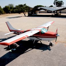
Mokuti Lodge Airport
291 m
Battlefield of Amutuni lyOmanenge
5.9 km
Reptilienpark Ontouka
16 m
Groß Namutoni
11.9 km
Ombili Foundation
38.2 km
Hühner
11 m
Schildkröten
18 m
Chudob (natural waterhole)
14.3 km
Ngobib (natural waterhole)
31.1 km
Kalkheuwel (man-made water point)
25.5 km
Goas (natural waterhole)
55.5 km
Klein Okevi (natural waterhole)
15.3 km
Groot Okevi (natural waterhole)
16.5 km
Andoni
43.8 km
Tsumcor
19 km
Aroe (man-made water point)
11.7 km
Twee Palms
5.7 km
Klein Namutoni
10.8 km
Koinachas
12.9 km
Okerfontein (natural waterhole)
35.1 km
Batia (natural waterhole)
39.2 km
Springbokfontein (natural waterhole)
40.1 km
Scenic viewpoint
50.8 km
Scenic viewpoint
11.9 km
Stinkwater
31.1 km
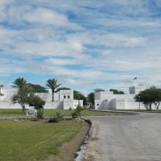
Fort Namutoni
11.8 km
Memorial, commemorative plaque
11.7 kmReviews
Visited this place? Tap the stars to rate it and share your experience / photos with the community! Try now! You can cancel it anytime.
Discover hidden gems everywhere you go!
From secret cafés to breathtaking viewpoints, skip the crowded tourist spots and find places that match your style. Our app makes it easy with voice search, smart filtering, route optimization, and insider tips from travelers worldwide. Download now for the complete mobile experience.

A unique approach to discovering new places❞
— Le Figaro
All the places worth exploring❞
— France Info
A tailor-made excursion in just a few clicks❞
— 20 Minutes