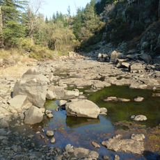
Lesoto Highlands Water Project
Location: Dihlabeng Local Municipality
GPS coordinates: -28.43949,28.39753
Latest update: November 20, 2025 01:30
Pretorius Kloof
24.2 km
Meiringskloof
24.8 km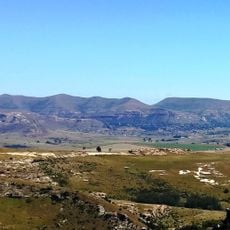
Clarens Village Nature Reserve
8.5 km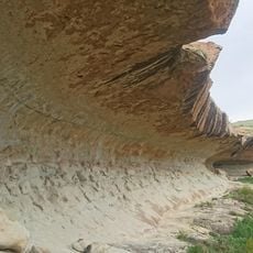
Thimuli Cave
15.2 km
Boskloof
22.7 km
Echo Ravine
23 km
Mushroom Rock
23.4 km
Brandwag Buttress
22.3 km
Bushman Paintings
18.1 km
Art & Wine Gallery
8.8 km
Robert Badenhorst Art Gallery
8.8 km
Sandstone Valley viewpoint
26.4 km
Drakensberg View Point
26 km
Scenic viewpoint
22.3 km
Rooidraai
23.4 km
Generaalskop Viewpoint
24.8 km
Langtoon Dam Viewpoint
23.1 km
Zuluhoek lookout point
23.4 km
Red Mountains
25.2 km
Scenic viewpoint
8.2 km
Scenic viewpoint
6.5 km
Scenic viewpoint
25 km
Maluti Mountains
20.6 km
Monument
3.7 km
Statue, memorial
8.7 km
Memorial
24.8 km
Surrender Hill
18.9 km
Waterfall
23 kmReviews
Visited this place? Tap the stars to rate it and share your experience / photos with the community! Try now! You can cancel it anytime.
Discover hidden gems everywhere you go!
From secret cafés to breathtaking viewpoints, skip the crowded tourist spots and find places that match your style. Our app makes it easy with voice search, smart filtering, route optimization, and insider tips from travelers worldwide. Download now for the complete mobile experience.

A unique approach to discovering new places❞
— Le Figaro
All the places worth exploring❞
— France Info
A tailor-made excursion in just a few clicks❞
— 20 Minutes