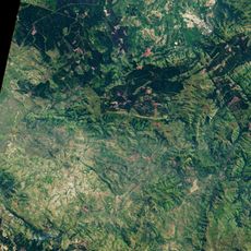
Uhuru Guest Farm
Location: Kannaland Local Municipality
GPS coordinates: -33.65766,21.76957
Latest update: November 17, 2025 16:51
Makhonjwa Mountains
35.8 km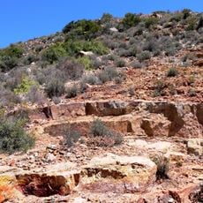
Gamkaberg Nature Reserve
16.1 km
Gouritz Cluster
25 km
Swartberg Nature Reserve
40.4 km
Wolwekop
37.8 km
Bailey Peak
32.4 km
Spitskop
28.3 km
Rooikrans
19 km
Snyganskop
16.8 km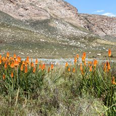
Groot Swartberg Nature Reserve
39.3 km
Die Hel
38.1 km
Marinda Combrinck Gallery
16 km
Honeymoon House
34.5 km
Highgate Ostrich Show Farm
34 km
Ruitersbos Nature Reserve
32.6 km
Ostrich farm
36.5 km
Kruisrivier Gallery
26.3 km
Safari Ostrich Farm
36.7 km
Buffelsfontein Art & Coffee
30.5 km
School Hall
34.5 km
Jakkalsvlei Wine Tasting
36.6 km
Scenic viewpoint
35.1 km
Scenic viewpoint
24.6 km
Scenic viewpoint
24.1 km
Hang Krans Lookout
40.1 km
Archaeological site
35.6 km
Archaeological site
35.6 km
Waterfall
35.8 kmReviews
Visited this place? Tap the stars to rate it and share your experience / photos with the community! Try now! You can cancel it anytime.
Discover hidden gems everywhere you go!
From secret cafés to breathtaking viewpoints, skip the crowded tourist spots and find places that match your style. Our app makes it easy with voice search, smart filtering, route optimization, and insider tips from travelers worldwide. Download now for the complete mobile experience.

A unique approach to discovering new places❞
— Le Figaro
All the places worth exploring❞
— France Info
A tailor-made excursion in just a few clicks❞
— 20 Minutes