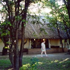
Day Visitors Area
Location: Ba-Phalaborwa Local Municipality
Opening Hours: sunrise-sunset
GPS coordinates: -23.52093,31.39840
Latest update: November 17, 2025 21:51
Letaba Rest Camp
41.3 km
Mopani Camp
113 m
Letaba Ranch Provincial Park
39.9 km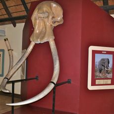
Letaba Elephant Hall
41.1 km
Shingwedzi
46.1 km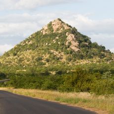
Masorini
46.6 km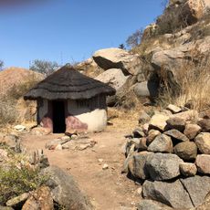
Masorini Archaeological Site
46.7 km
Shibavantsengele Viewpoint
18.8 km
Pioneer Dam Bird Hide
620 m
Shipandani Hide
1.5 km
Kanniedood Dam Hide
44.4 km
Tshanga Waterhole
36.6 km
Shimuwini Bird Hide
25.5 km
Scenic viewpoint
30.8 km
Nyawutsi Bird Hide
29.7 km
Scenic viewpoint
41.6 km
Scenic viewpoint
31 km
Scenic viewpoint
45.1 km
Sable Dam Hide
49.4 km
Shipandani Overnight Hide
1.5 km
Confluence Viewpoint
8.4 km
Matambeni Bird Hide
41.5 km
Sable Dam Viewpoint
49.3 km
Masorini Waterhole
46.4 km
Ngwenyeni
41.1 km
Gora Waterhole
51 km
Scenic viewpoint
13.3 km
Scenic viewpoint
32.4 kmReviews
Visited this place? Tap the stars to rate it and share your experience / photos with the community! Try now! You can cancel it anytime.
Discover hidden gems everywhere you go!
From secret cafés to breathtaking viewpoints, skip the crowded tourist spots and find places that match your style. Our app makes it easy with voice search, smart filtering, route optimization, and insider tips from travelers worldwide. Download now for the complete mobile experience.

A unique approach to discovering new places❞
— Le Figaro
All the places worth exploring❞
— France Info
A tailor-made excursion in just a few clicks❞
— 20 Minutes