Barrage de koumbeloti
Location: Préfecture de l'Oti
GPS coordinates: 10.40425,0.46735
Latest update: October 26, 2025 01:12

Koutammakou
80.7 km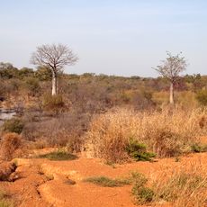
Kéran National Park
34.8 km
Musée régional de Natitingou
100.5 km
Lake Kompienga
83.8 km
Nano
28.8 km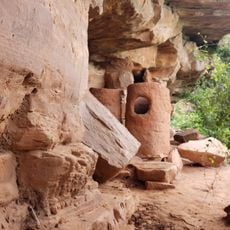
Granaries at the Caves of Nok
46.4 km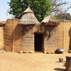
Bénin Tata Somba
99.8 km
Felszeichnungen
49.3 km
Bassamba
80.2 km
Tata Somba
85.2 km
Tata Somba
93.2 km
Tata Somba
84.3 km
Village artisanal de Natitingou
100.5 km
Campement de Thialy
85.8 km
Natitingou la nuit
97.4 km
Nadobo, Tatas Unesco World Heritage Site
73.4 km
Natural pool with waterfall
79.1 km
Farver's 2.0
7.3 km
Tata Somba
84.3 km
Wartema
79.2 km
Radio Maria Dapaong
58 km
Hippo Pond
589 m
ZAAP de Dalwak
50.3 km
Fosse aux Lions National Park
51.3 km
Le pic
78.5 km
La Croix
99.2 km
Scenic viewpoint
327 m
Grottes de Nok UNESCO entrée
46.5 kmReviews
Visited this place? Tap the stars to rate it and share your experience / photos with the community! Try now! You can cancel it anytime.
Discover hidden gems everywhere you go!
From secret cafés to breathtaking viewpoints, skip the crowded tourist spots and find places that match your style. Our app makes it easy with voice search, smart filtering, route optimization, and insider tips from travelers worldwide. Download now for the complete mobile experience.

A unique approach to discovering new places❞
— Le Figaro
All the places worth exploring❞
— France Info
A tailor-made excursion in just a few clicks❞
— 20 Minutes