טנק נטוש
Location: מועצה אזורית מגילות ים המלח
GPS coordinates: 31.75790,35.40970
Latest update: November 12, 2025 03:43

An Nabī Mūsá
3.8 km
Scenic viewpoint
4.7 km
Maghārat Abū Ţabaq
1.7 km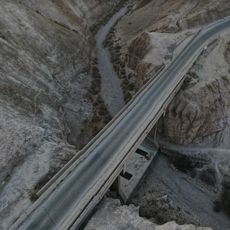
גשר נבי מוסא
1.5 km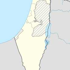
Maghārat as Saddah
4.2 km
Scenic viewpoint
4.3 km
Nabi Musa
3.8 km
Scenic viewpoint
3.3 km
תצפית שפך נחל אוג
4.3 km
טיז א-זלמה
4.2 km
Scenic viewpoint
4.1 km
الدرج
4.5 km
Scenic viewpoint
4 km
תצפית למערה 1
4.7 km
Scenic viewpoint
3.4 km
Scenic viewpoint
4.2 km
Scenic viewpoint
3.4 km
מנזר תיאוקסיסטוס
3 km
מאגורה
1.9 km
מאגורה
1.5 km
מאגורה
3.4 km
לאורה ירמיהו
4.5 km
Waterfall
4.6 km
Waterfall
4.6 km
Waterfall
4.6 km
Waterfall
4.7 km
Waterfall
4.6 km
Waterfall
4.6 kmReviews
Visited this place? Tap the stars to rate it and share your experience / photos with the community! Try now! You can cancel it anytime.
Discover hidden gems everywhere you go!
From secret cafés to breathtaking viewpoints, skip the crowded tourist spots and find places that match your style. Our app makes it easy with voice search, smart filtering, route optimization, and insider tips from travelers worldwide. Download now for the complete mobile experience.

A unique approach to discovering new places❞
— Le Figaro
All the places worth exploring❞
— France Info
A tailor-made excursion in just a few clicks❞
— 20 Minutes