Two tanks
Location: מועצה אזורית חוף הכרמל
GPS coordinates: 32.64272,35.03865
Latest update: November 13, 2025 10:30
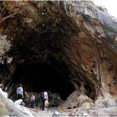
Raqefet Cave
3.8 km
Hirbat sumek
3.2 km
Karach Ruins
4.8 km
Har Sumaq
2.1 km
Rezerwat przyrody Nachal Tut
3.6 km
Har Mehallel
4.3 km
Keren HaKarmel Forest
3.2 km
Me‘arot Elyaqim
2 km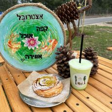
אצטרובל עגלת קפה
3.8 km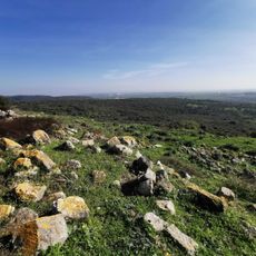
תצפית מדהימה
1.7 km
Shemurat Naẖal Maharal ‘Elyon
1.8 km
Keren HaCarmel viewpoint
3.2 km
Rock-cut tomb, tomb
2.8 km
Ruins
3 km
טנק שרמן
259 m
Rock-cut tomb, tomb
3 km
טנק T61
1.5 km
Memorial
4.9 km
Rock-cut tomb, archaeological site
4.6 km
צניר
3.2 km
Ruins
3.2 km
Rock-cut tomb, tomb
3.3 km
Ruins
3.3 km
Ruins
3.2 km
Ruins
3 km
Ruins
3 km
עין מקורה
3.4 km
Ruins
4.9 kmReviews
Visited this place? Tap the stars to rate it and share your experience / photos with the community! Try now! You can cancel it anytime.
Discover hidden gems everywhere you go!
From secret cafés to breathtaking viewpoints, skip the crowded tourist spots and find places that match your style. Our app makes it easy with voice search, smart filtering, route optimization, and insider tips from travelers worldwide. Download now for the complete mobile experience.

A unique approach to discovering new places❞
— Le Figaro
All the places worth exploring❞
— France Info
A tailor-made excursion in just a few clicks❞
— 20 Minutes