בניין המשטרה הבריטית
Location: מועצה אזורית זבולון
GPS coordinates: 32.74215,35.07796
Latest update: November 13, 2025 10:28
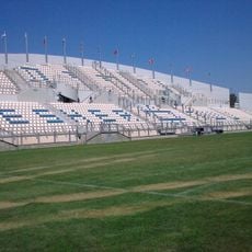
Nesher Municipal Stadium
3.4 km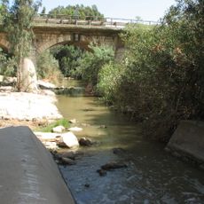
Kishon – The Valleys Park
2.7 km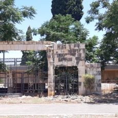
Haifa Muslim Cemetery in Nesher
3.6 km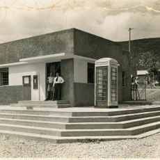
Nesher Mandatory Post Office
3.6 km
Nesher Lakes Park
3.3 km
Tel Regev
2.2 km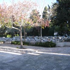
Isfiya Military Cemetery
2.6 km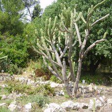
Botanical garden, Oranim
4.4 km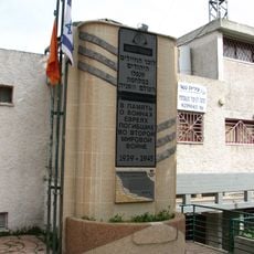
Veteran Museum – Nesher
3.7 km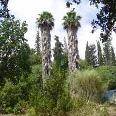
Jardín Botánico de Oranim
4.4 km
Gan Le'ummi Har HaKarmel
2.4 km
Shemurat Sha‘ar Ha‘Amaqim
3.2 km
Shemurat HaKarmel
4.1 km
HaKeter
1.1 km
Me‘arat Nesharim
3.1 km
מצפור בר-יהודה
1.6 km
David Eisen viewpoint
2.3 km
ספריית שביל ישראל
1.8 km
באלגן
587 m
הסליק הגדול
276 m
Forester's House
2.4 km
תחנת רכבת משוחזרת אלרואי
4.3 km
משק חי
442 m
Scenic viewpoint
724 m
Scenic viewpoint
2.8 km
מלחמת ההתשה
2.3 km
عقدة الشيخ لبيب ابو ركن
2.8 km
Memorial
1.6 kmReviews
Visited this place? Tap the stars to rate it and share your experience / photos with the community! Try now! You can cancel it anytime.
Discover hidden gems everywhere you go!
From secret cafés to breathtaking viewpoints, skip the crowded tourist spots and find places that match your style. Our app makes it easy with voice search, smart filtering, route optimization, and insider tips from travelers worldwide. Download now for the complete mobile experience.

A unique approach to discovering new places❞
— Le Figaro
All the places worth exploring❞
— France Info
A tailor-made excursion in just a few clicks❞
— 20 Minutes