思案橋
Location: 坂井市
Accessibility: Accessible en fauteuil roulant
Opening Hours: 24/7
GPS coordinates: 36.21490,136.14573
Latest update: November 18, 2025 21:24
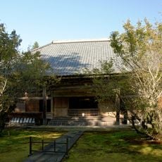
Takidan-ji
779 m
Sakai City Museum
752 m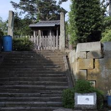
Mikuniminato Castle
872 m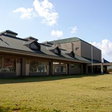
Mikuni Bunka Miraikan
321 m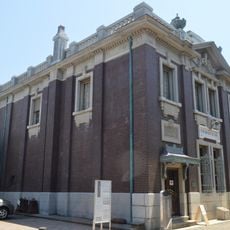
Former Morita Bank Head Office
372 m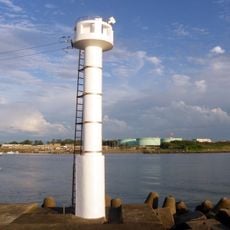
三国防波堤南西方照射灯
1.4 km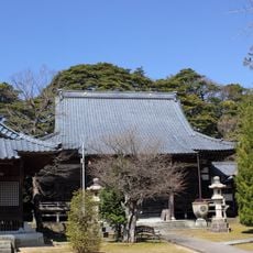
Shōkai-ji
782 m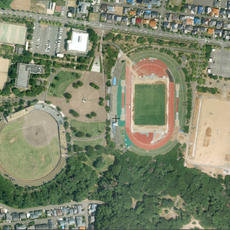
Mikuni Athletic Park
1.2 km
福井北防波堤灯台
2.9 km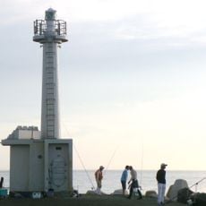
Mikuni Breakwater lighthouse
1.7 km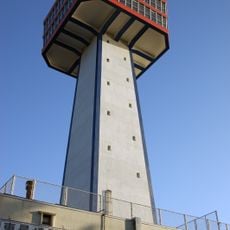
東尋坊タワー
2.8 km
Memorial
3 km
Wayside shrine
2 km
黄金不動尊
839 m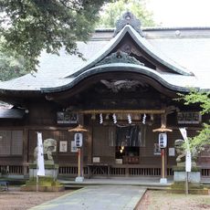
Mikuni Shrine
1.3 km
Memorial
3 km
Wayside shrine
2.7 km
Wayside shrine
2.3 km
Wayside shrine
2.4 km
三国南部土地改良記念碑
2.8 km
三國凑座
266 m
Catholic church building, wayside shrine
1.5 km
Wayside shrine
1.2 km
Wayside shrine, Buddhism
1.1 km
Wayside shrine
831 m
Wayside shrine, Buddhism
1.5 km
Wayside shrine
2.2 km
Wayside shrine
2.6 kmReviews
Visited this place? Tap the stars to rate it and share your experience / photos with the community! Try now! You can cancel it anytime.
Discover hidden gems everywhere you go!
From secret cafés to breathtaking viewpoints, skip the crowded tourist spots and find places that match your style. Our app makes it easy with voice search, smart filtering, route optimization, and insider tips from travelers worldwide. Download now for the complete mobile experience.

A unique approach to discovering new places❞
— Le Figaro
All the places worth exploring❞
— France Info
A tailor-made excursion in just a few clicks❞
— 20 Minutes