
Анабарское плато
Location: сельское поселение Хатанга
GPS coordinates: 70.07416,108.19758
Latest update: October 27, 2025 18:00

Putorana Plateau
606.4 km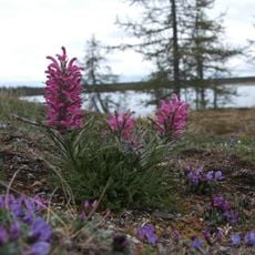
Taymyr Nature Reserve
526 km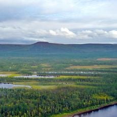
Putorana Nature Reserve
538.1 km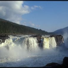
Great Kureika waterfall
582.9 km
Обелиск-монумент «Батыйа» (Оленёк)
241.8 km
Putoransky Nature Reserve
556.3 km
Боганида (эвла)
435.7 km
Scenic viewpoint
559.1 km
Памятник Ларисе Анатольевне Попугаевой
440.3 km
Избы
569.1 km
Столбы
572 km
Снегосъемка
438.6 km
Снегосъемка1
439.2 km
Вид на карьер
438.5 km
Кряж Прончищева
477 km
Scenic viewpoint
626.2 km
Жертвам ядерных испытаний
492.7 km
Memorial
440.2 km
Изба и баня
601.8 km
Стелла
440.1 km
Танк
440.1 km
Memorial
438.4 km
Memorial, war memorial
480.1 km
Memorial, stele
479 km
Stele, memorial
478.7 km
Memorial
299.3 km
War memorial, memorial
219.5 km
Memorial
478.8 kmReviews
Visited this place? Tap the stars to rate it and share your experience / photos with the community! Try now! You can cancel it anytime.
Discover hidden gems everywhere you go!
From secret cafés to breathtaking viewpoints, skip the crowded tourist spots and find places that match your style. Our app makes it easy with voice search, smart filtering, route optimization, and insider tips from travelers worldwide. Download now for the complete mobile experience.

A unique approach to discovering new places❞
— Le Figaro
All the places worth exploring❞
— France Info
A tailor-made excursion in just a few clicks❞
— 20 Minutes