Mon bridge/cruise
Location: จังหวัดกาญจนบุรี
GPS coordinates: 15.14105,98.44938
Latest update: November 17, 2025 09:43
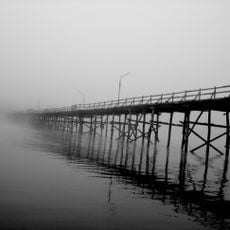
Uttamanusorn Bridge
262 m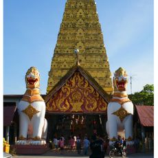
Wat Wang Wiwekaram
1.5 km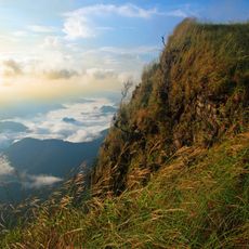
Khao Laem National Park
20.7 km
Wat Wia Khadi
14.1 km
Khao Laem Reservoir
18.8 km
Nam Tok Dai Chong Thong
25.8 km
Nam Tok Kroeng Krawia
26.4 km
Nam Tok Thian Thong
18.4 km
Sadaik Taung
26.9 km
แพมาลัย
36.5 km
จุดชมทิวทัศน์
384 m
Sangkhla Buri Night Mkt
1.6 km
Thai animal sanctuary
892 m
Wat Saam Prasob
3.2 km
Phra Chedi Sam Ong
19.1 km
Kyan Dow Village
17.7 km
Tone Dove Poe' Village
18.2 km
จุดชมวิวสะพานรันตี
6.2 km
Piboon Falls
14.9 km
Scenic viewpoint
324 m
Scenic viewpoint
1.9 km
จุดชมวิวป้อมปี่
19.6 km
Chedi Luang Phaw Uttama
1.4 km
Path to waterfall
15 km
น้ำตกนางครวญ
39.3 km
Salawa waterfall
23.8 km
Takhianthong Waterfall
18 km
น้ำตกกะเต็งเจ็ง
20.8 kmReviews
Visited this place? Tap the stars to rate it and share your experience / photos with the community! Try now! You can cancel it anytime.
Discover hidden gems everywhere you go!
From secret cafés to breathtaking viewpoints, skip the crowded tourist spots and find places that match your style. Our app makes it easy with voice search, smart filtering, route optimization, and insider tips from travelers worldwide. Download now for the complete mobile experience.

A unique approach to discovering new places❞
— Le Figaro
All the places worth exploring❞
— France Info
A tailor-made excursion in just a few clicks❞
— 20 Minutes