Ewens Ponds
Location: Eight Mile Creek
Location: The District Council of Grant
GPS coordinates: -38.02574,140.79061
Latest update: November 22, 2025 20:43

Little Blue Lake
14.6 km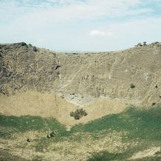
Mount Schank
10.7 km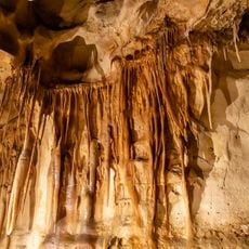
Princess Margaret Rose Cave
18 km
Piccaninnie Ponds National Park
13.3 km
Mount Ruskin
15.5 km
Lions Park Picnic Area
9.8 km
Lower Glenelg River Conservation Park
15.3 km
Clarke Park Picnic Reserve
10.2 km
Brown Beach
4.8 km
Sea Coast Hill
10.1 km
Woolwash Caravan Park
7.1 km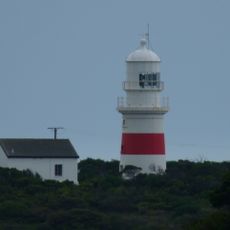
Cape Northumberland Lighthouse
11.4 km
Cape Northumberland Lighthouse
11.3 km
Bucks Hill
15.6 km
Port Macdonnell Golf Course
9.1 km
Shelly Beach
11.4 km
Sinkhole
17.3 km
Quarantine site - no fruits, veg or soil allowed into SA
14.1 km
Dingley Dell Cottage
9.9 km
Cape Northumberland viewing platform
11.9 km
1858 Lighthouse Monument and ruins
11.9 km
Little Blue Lake
14.6 km
Scenic viewpoint
13.3 km
Scenic viewpoint
15.3 km
Scenic viewpoint
12 km
Scenic viewpoint
12 km
Memorial
8.5 km
Sighting of Mount Gambier, Mount Schank, Cape Northumberland and Cape Banks
11.9 kmReviews
Visited this place? Tap the stars to rate it and share your experience / photos with the community! Try now! You can cancel it anytime.
Discover hidden gems everywhere you go!
From secret cafés to breathtaking viewpoints, skip the crowded tourist spots and find places that match your style. Our app makes it easy with voice search, smart filtering, route optimization, and insider tips from travelers worldwide. Download now for the complete mobile experience.

A unique approach to discovering new places❞
— Le Figaro
All the places worth exploring❞
— France Info
A tailor-made excursion in just a few clicks❞
— 20 Minutes