State Border Tourist Area
Location: Jennings
Location: Tenterfield Shire Council
GPS coordinates: -28.92432,151.93030
Latest update: October 11, 2024 01:34
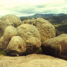
Girraween National Park
11.6 km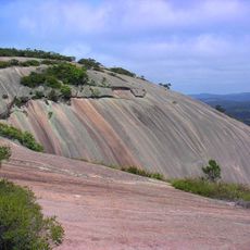
Bald Rock National Park
15.2 km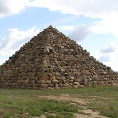
Ballandean Pyramid
14.4 km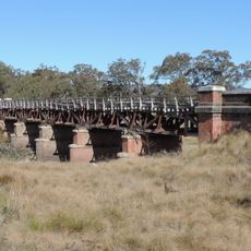
Tenterfield Creek railway bridge, Sunnyside
7 km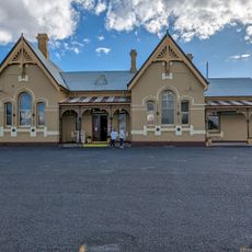
Tenterfield
16.3 km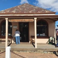
Tenterfield Saddler
16.8 km
Tenterfield Rotary Park
16.2 km
Symphony Hill Wines
14.2 km
F111 Crash Site Memorial
15.6 km
Granite Arch
10.8 km
Dr Robert's Waterhole
11 km
Balancing Rock
11.5 km
Underground Creek
10.8 km
The Junction
9.9 km
Tenterfield Golf Club
14.2 km
Ballandean Pyramid
14.4 km
Heavenly Chocolate
8.9 km
Girraween National Park
7.8 km
Wave Rock
10.8 km
Northern Viewing Area
15.7 km
World War II Tank Traps
15.7 km
Pioneer Memorial
15.9 km
Tenterfield Weather Rock
16.2 km
Eye of the Needel
7.7 km
"Fruitisforus" Dinosaur
16.2 km
Wallangarra Golf Course
1.8 km
Twinstar Observatory
16.8 km
Scenic viewpoint
9 mReviews
Visited this place? Tap the stars to rate it and share your experience / photos with the community! Try now! You can cancel it anytime.
Discover hidden gems everywhere you go!
From secret cafés to breathtaking viewpoints, skip the crowded tourist spots and find places that match your style. Our app makes it easy with voice search, smart filtering, route optimization, and insider tips from travelers worldwide. Download now for the complete mobile experience.

A unique approach to discovering new places❞
— Le Figaro
All the places worth exploring❞
— France Info
A tailor-made excursion in just a few clicks❞
— 20 Minutes