Balancing Rock
Location: Porongurup
Location: Shire Of Plantagenet
GPS coordinates: -34.69522,117.92026
Latest update: November 24, 2025 00:41
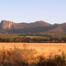
Porongurup National Park
751 m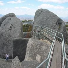
Castle Rock
24 m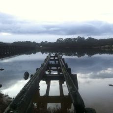
Government Jetty, Albany
28.7 km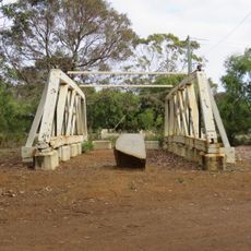
Lower Kalgan Bridge Trusses
28.7 km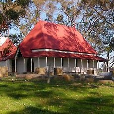
St Werburgh's Chapel and Cemetery
29.4 km
William And Anne Gibb Park
29.8 km
Becker Park
29.4 km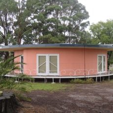
Round House, Mount Barker
25.5 km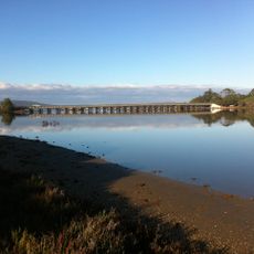
Lower Kalgan River Bridge & Jetty Group
28.7 km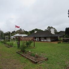
Police Station and Gaol Complex
25.3 km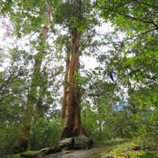
Tree-in-the-Rock, Porongurup National Park
4.9 km
Lower Kalgan Bridge
28.7 km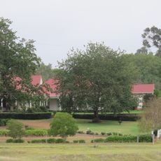
St Werburgh's Farm Buildings
29.7 km
King River Hall
26.7 km
Ballymena
27 km
Tree In A Rock
4.9 km
Mount Barker Golf Course
22.8 km
Riverview Golf Club
25.9 km
View Point
4.6 km
Mount Barker Golf Course
22.9 km
Kingfisher Shelter
25.5 km
Statue, Work of art
21.3 km
Hayward Peak
4.9 km
Morgan's View
6 km
Castle Rock Skywalk
82 m
Stirling Range Lookout
7.6 km
Scenic viewpoint
25.3 km
Ruins
26.4 kmReviews
Visited this place? Tap the stars to rate it and share your experience / photos with the community! Try now! You can cancel it anytime.
Discover hidden gems everywhere you go!
From secret cafés to breathtaking viewpoints, skip the crowded tourist spots and find places that match your style. Our app makes it easy with voice search, smart filtering, route optimization, and insider tips from travelers worldwide. Download now for the complete mobile experience.

A unique approach to discovering new places❞
— Le Figaro
All the places worth exploring❞
— France Info
A tailor-made excursion in just a few clicks❞
— 20 Minutes