Camp
Location: Skinners Flat
Location: Shire of Loddon
GPS coordinates: -36.33946,143.58266
Latest update: November 21, 2025 20:27
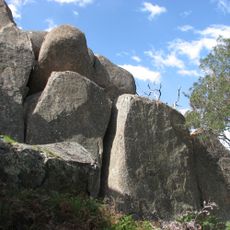
Kooyoora State Park
30.7 km
Nardoo Hills Reserves
3.8 km
Myrong Beach
27.8 km
Fernihurst Weir
27.8 km
Loddon Weir
25.4 km
Mount Kerang
4 km
Spring Hill
22.8 km
Nine Mile Company Gold Mine
13.8 km
Work of art, statue
22.3 km
Lookout
30.7 km
Korong Vale Golf Course
12.6 km
Charlton Golf Club
25.2 km
Quartz Crystal Mine
29 km
Salt lakes
27.9 km
Boort Golf Course
25.9 km
Work of art, sculpture
27.7 km
Howells Hill
16.4 km
Wedderburn Golf Club
9.9 km
Boort Scenic Lookout
28.3 km
Prince of Wales Mine
30.1 km
Location of first European settlement in the District
26.7 km
Major Mitchell Monument
12.5 km
Old signal box "a"
11.2 km
War Memorial
28.1 km
Charlton War Memorial
22.4 km
Memorial, commemorative plaque
28 km
Memorial
27.9 km
Boer War Memorial
22.5 kmReviews
Visited this place? Tap the stars to rate it and share your experience / photos with the community! Try now! You can cancel it anytime.
Discover hidden gems everywhere you go!
From secret cafés to breathtaking viewpoints, skip the crowded tourist spots and find places that match your style. Our app makes it easy with voice search, smart filtering, route optimization, and insider tips from travelers worldwide. Download now for the complete mobile experience.

A unique approach to discovering new places❞
— Le Figaro
All the places worth exploring❞
— France Info
A tailor-made excursion in just a few clicks❞
— 20 Minutes